Area Overview for DE45 1GG
Photos of DE45 1GG
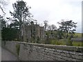
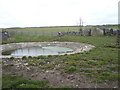
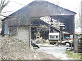
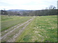
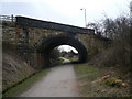
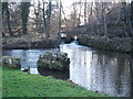
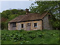
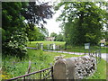
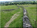
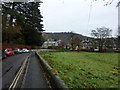
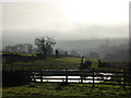
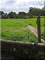
100 photos from this area
Area Information
Key information about the DE45 1GG including its size, population, and administrative classification.
- Area Type
- Postcode
- Area Size
- 4170 m²
- Population
- 1378
- Population Density
- 68 people/km²
House Prices in DE45 1GG
11
Properties
£245,000
Average Sold Price
£80,000
Lowest Price
£430,000
Highest Price
Showing 11 properties
| Address | Type | Beds | Baths | Last Sale Price | Last Sale Date | |
|---|---|---|---|---|---|---|
| 1, Old Lumford Cottages, Unnamed Road Off Holme Lane, Bakewell, DE45 1GG | house | - | - | £430,000 | Nov 2019 | |
| 4, Old Lumford Cottages, Unnamed Road Off Holme Lane, Bakewell, DE45 1GG | Terraced | - | - | £245,000 | Aug 2005 | |
| 8, Old Lumford Cottages, Unnamed Road Off Holme Lane, Bakewell, DE45 1GG | Terraced | - | - | £225,000 | Jul 2003 | |
| 1, Lumford House, Holme Lane, Bakewell, DE45 1GG | Terraced | - | - | £80,000 | Oct 1996 | |
| 3, Old Lumford Cottages, Unnamed Road Off Holme Lane, Bakewell, DE45 1GG | house | 3 | 1 | - | - | |
| 2, LUMFORD HOUSE, HOLME LANE, Bakewell, DE45 1GG | Detached | 2 | - | - | - | |
| 5, Old Lumford Cottages, Unnamed Road Off Holme Lane, Bakewell, DE45 1GG | house | - | - | - | - | |
| 6, Puddle Duck Cottage, Old Lumford Cottages, Unnamed Road Off Holme Lane, Bakewell, DE45 1GG | Cottage | 2 | 2 | - | - | |
| 2, Old Lumford Cottages, Unnamed Road Off Holme Lane, Bakewell, DE45 1GG | Terraced | - | - | - | - | |
| 7, Old Lumford Cottages, Unnamed Road Off Holme Lane, Bakewell, DE45 1GG | Cottage | 3 | 1 | - | - |
Page 1 of 2
Energy Efficiency in DE45 1GG
Amenities
Schools
| Rank | School | Type | Entry gender | Ages |
|---|
Explore more schools in this area
Go to Schools tabDemographics
Household Size
One person
most common
Accommodation Type
Houses
most common
Tenure
70
majority
Ethnic Group
White
most common
Religion
N/A
most common
Household Composition
N/A
most common
Age
47
median
Adults (30-64 years)
most common
Household Deprivation
N/A
with no deprivation
NS-SEC
43
in Lower managerial occupations
Explore more demographic insights in this area
Go to Demographics tabPlanning
Planning Constraints
- Flood RiskPremium
- Ramsar Wetland SitesPremium
- Area of Outstanding Natural BeautyPremium
- Protected Nature ReservePremium
- Protected WoodlandPremium