Area Overview for DE45 1BX
Photos of DE45 1BX
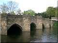
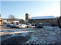

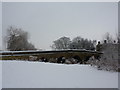
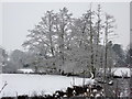
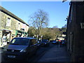
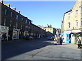
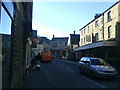
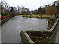


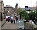
100 photos from this area
Area Information
Key information about the DE45 1BX including its size, population, and administrative classification.
- Area Type
- Postcode
- Area Size
- 1.0 hectares
- Population
- 1378
- Population Density
- 68 people/km²
House Prices in DE45 1BX
11
Properties
£416,083
Average Sold Price
£119,000
Lowest Price
£715,000
Highest Price
Showing 11 properties
| Address | Type | Beds | Baths | Last Sale Price | Last Sale Date | |
|---|---|---|---|---|---|---|
| The Cottage, Bath Street, Bakewell, DE45 1BX | Terraced | - | - | £332,500 | Feb 2025 | |
| 2, Bank House, Bath Street, Bakewell, DE45 1BX | Semi-detached | 3 | 1 | £325,000 | Oct 2020 | |
| The Old Farmhouse, Bath Street, Bakewell, DE45 1BX | Terraced | - | - | £715,000 | Sep 2008 | |
| 1, Bank House, Bath Street, Bakewell, DE45 1BX | Terraced | - | - | £395,000 | Sep 2006 | |
| The Old Forge, Bath Street, Bakewell, DE45 1BX | Detached | - | - | £610,000 | Aug 2005 | |
| Bank House Mews, Bath Street, Bakewell, DE45 1BX | Terraced | 3 | - | £119,000 | Nov 2002 | |
| The Flat, Blake House, Bath Street, Bakewell, DE45 1BX | Flat | - | - | - | - | |
| The Woodhouse, Piedaniels Restaurant, Bath Street, Bakewell, DE45 1BX | Flat | - | - | - | - | |
| Coulsden Cottage, Bath Street, Bakewell, DE45 1BX | house | - | - | - | - | |
| 3, Bank House, Bath Street, Bakewell, DE45 1BX | Terraced | - | - | - | - |
Page 1 of 2
Energy Efficiency in DE45 1BX
Amenities
Schools
| Rank | School | Type | Entry gender | Ages |
|---|
Explore more schools in this area
Go to Schools tabDemographics
Household Size
One person
most common
Accommodation Type
Houses
most common
Tenure
70
majority
Ethnic Group
White
most common
Religion
N/A
most common
Household Composition
N/A
most common
Age
47
median
Adults (30-64 years)
most common
Household Deprivation
N/A
with no deprivation
NS-SEC
43
in Lower managerial occupations
Explore more demographic insights in this area
Go to Demographics tabPlanning
Planning Constraints
- Flood RiskPremium
- Ramsar Wetland SitesPremium
- Area of Outstanding Natural BeautyPremium
- Protected Nature ReservePremium
- Protected WoodlandPremium