Area Overview for DE4 5BW
Photos of DE4 5BW
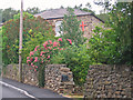
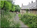
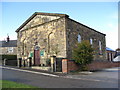
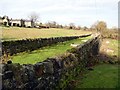
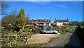
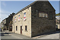
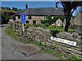
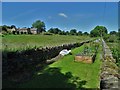
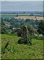
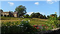
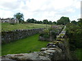
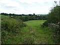
53 photos from this area
Area Information
Key information about the DE4 5BW including its size, population, and administrative classification.
- Area Type
- Postcode
- Area Size
- 7.2 hectares
- Population
- 1111
- Population Density
- 412 people/km²
House Prices in DE4 5BW
34
Properties
£175,850
Average Sold Price
£27,500
Lowest Price
£512,000
Highest Price
Showing 34 properties
| Address | Type | Beds | Baths | Last Sale Price | Last Sale Date | |
|---|---|---|---|---|---|---|
| 124 The Common, Crich, Matlock, DE4 5BW | Detached | 3 | 1 | £512,000 | Jan 2025 | |
| 102 The Common, Crich, Matlock, DE4 5BW | Detached | 3 | 1 | £265,000 | Oct 2017 | |
| 112 The Common, Crich, Matlock, DE4 5BW | house | - | - | £195,000 | Feb 2011 | |
| 114 The Common, Crich, Matlock, DE4 5BW | Cottage | 2 | 1 | £141,000 | Aug 2006 | |
| 144 The Common, Crich, Matlock, DE4 5BW | Detached | - | - | £285,000 | Jul 2006 | |
| 132 The Common, Crich, Matlock, DE4 5BW | Detached | 3 | 2 | £107,000 | Jun 2001 | |
| 138 The Common, Crich, Matlock, DE4 5BW | Detached | - | - | £86,500 | Nov 1998 | |
| 134 The Common, Crich, Matlock, DE4 5BW | Detached | 3 | 1 | £95,000 | Sep 1997 | |
| 130 The Common, Crich, Matlock, DE4 5BW | Detached | - | - | £44,500 | Aug 1996 | |
| Sunnyside A, Briars Lane, Crich, Matlock, DE4 5BW | Bungalow | 2 | 1 | £27,500 | Oct 1995 |
Page 1 of 4
Energy Efficiency in DE4 5BW
Amenities
Schools
| Rank | School | Type | Entry gender | Ages |
|---|
Explore more schools in this area
Go to Schools tabDemographics
Household Size
Two person
most common
Accommodation Type
Houses
most common
Tenure
68
majority
Ethnic Group
White
most common
Religion
N/A
most common
Household Composition
N/A
most common
Age
47
median
Adults (30-64 years)
most common
Household Deprivation
N/A
with no deprivation
NS-SEC
36
in Lower managerial occupations
Explore more demographic insights in this area
Go to Demographics tabPlanning
Planning Constraints
- Flood RiskPremium
- Ramsar Wetland SitesPremium
- Area of Outstanding Natural BeautyPremium
- Protected Nature ReservePremium
- Protected WoodlandPremium