Area Overview for DE4 4DE
Photos of DE4 4DE
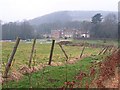
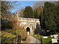
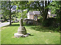
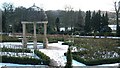
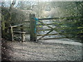
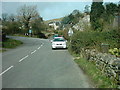

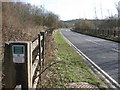
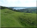
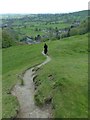
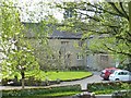
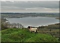
76 photos from this area
Area Information
Key information about the DE4 4DE including its size, population, and administrative classification.
- Area Type
- Postcode
- Area Size
- 25.6 hectares
- Population
- 1770
- Population Density
- 27 people/km²
House Prices in DE4 4DE
26
Properties
£491,659
Average Sold Price
£45,000
Lowest Price
£1,500,000
Highest Price
Showing 26 properties
| Address | Type | Beds | Baths | Last Sale Price | Last Sale Date | |
|---|---|---|---|---|---|---|
| Sams Cottage, Main Street, Carsington, DE4 4DE | Detached | 3 | 2 | £515,000 | Oct 2025 | |
| Swiers Farm, Main Street, Carsington, DE4 4DE | Detached | 5 | 3 | £154,000 | Mar 2025 | |
| Thornhill House, Main Street, Carsington, DE4 4DE | Detached | 5 | 5 | £1,500,000 | Jan 2024 | |
| Garden House, Main Street, Carsington, DE4 4DE | Cottage | 5 | - | £510,250 | Apr 2022 | |
| Minninglow Cottage, Main Street, Carsington, DE4 4DE | Cottage | 3 | 4 | £340,000 | Oct 2021 | |
| Rock Cottage, Main Street, Carsington, DE4 4DE | Detached | 2 | 1 | £280,000 | Dec 2020 | |
| Pinfold Lodge, Main Street, Carsington, DE4 4DE | Detached | 5 | 3 | £860,000 | Aug 2019 | |
| South View, Main Street, Carsington, DE4 4DE | Detached | 4 | 2 | £540,000 | Apr 2019 | |
| 3, Woodside, Main Street, Carsington, DE4 4DE | Terraced | 3 | - | £214,000 | Sep 2017 | |
| Kingsford Farm, Main Street, Carsington, DE4 4DE | house | - | - | £450,000 | Aug 2006 |
Page 1 of 3
Energy Efficiency in DE4 4DE
Amenities
Schools
| Rank | School | Type | Entry gender | Ages |
|---|
Explore more schools in this area
Go to Schools tabDemographics
Household Size
Two person
most common
Accommodation Type
Houses
most common
Tenure
82
majority
Ethnic Group
White
most common
Religion
N/A
most common
Household Composition
N/A
most common
Age
47
median
Adults (30-64 years)
most common
Household Deprivation
N/A
with no deprivation
NS-SEC
38
in Lower managerial occupations
Explore more demographic insights in this area
Go to Demographics tabPlanning
Planning Constraints
- Flood RiskPremium
- Ramsar Wetland SitesPremium
- Area of Outstanding Natural BeautyPremium
- Protected Nature ReservePremium
- Protected WoodlandPremium