Area Overview for DE4 4BG
Photos of DE4 4BG
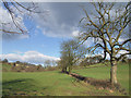
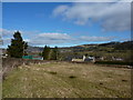
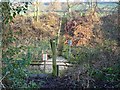
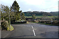
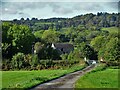
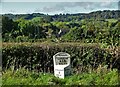
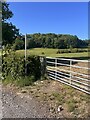
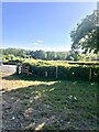
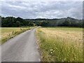
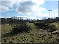
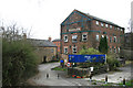
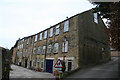
43 photos from this area
Area Information
Key information about the DE4 4BG including its size, population, and administrative classification.
- Area Type
- Postcode
- Area Size
- 5.9 hectares
- Population
- 1547
- Population Density
- 397 people/km²
House Prices in DE4 4BG
18
Properties
£175,438
Average Sold Price
£60,000
Lowest Price
£245,000
Highest Price
Showing 18 properties
| Address | Type | Beds | Baths | Last Sale Price | Last Sale Date | |
|---|---|---|---|---|---|---|
| 28 Derby Road, Wirksworth, DE4 4BG | Semi-detached | 3 | 1 | £205,000 | Mar 2025 | |
| Eccleswood, 26 Derby Road, Wirksworth, DE4 4BG | Terraced | 3 | 2 | £192,000 | Dec 2019 | |
| Fairfield, 29 Derby Road, Wirksworth, DE4 4BG | house | - | - | £148,500 | Aug 2011 | |
| 25 Derby Road, Wirksworth, DE4 4BG | house | - | - | £60,000 | Nov 2010 | |
| The Birches, Derby Road, Wirksworth, DE4 4BG | Detached | 5 | 3 | £245,000 | Jun 2007 | |
| Laurel Bank, Derby Road, Wirksworth, DE4 4BG | Detached | - | - | £245,000 | Apr 2007 | |
| 20 Derby Road, Wirksworth, DE4 4BG | Semi-detached | - | - | £184,000 | Oct 2005 | |
| Callow View, Derby Road, Wirksworth, DE4 4BG | Detached | - | - | £124,000 | Dec 2000 | |
| Tim Willmot Stonemason, Unit 3, Adam Bede Garage, Derby Road, Wirksworth, DE4 4BG | office_workshop | - | - | - | - | |
| Wirksworth Hand Car Wash Ltd, Adam Bede Garage, Derby Road, Wirksworth, DE4 4BG | office_workshop | - | - | - | - |
Page 1 of 2
Energy Efficiency in DE4 4BG
Amenities
Schools
| Rank | School | Type | Entry gender | Ages |
|---|
Explore more schools in this area
Go to Schools tabDemographics
Household Size
Two person
most common
Accommodation Type
Houses
most common
Tenure
64
majority
Ethnic Group
White
most common
Religion
N/A
most common
Household Composition
N/A
most common
Age
47
median
Adults (30-64 years)
most common
Household Deprivation
N/A
with no deprivation
NS-SEC
27
in Lower managerial occupations
Explore more demographic insights in this area
Go to Demographics tabPlanning
Planning Constraints
- Flood RiskPremium
- Ramsar Wetland SitesPremium
- Area of Outstanding Natural BeautyPremium
- Protected Nature ReservePremium
- Protected WoodlandPremium