Area Overview for DE3 9FH
Photos of DE3 9FH
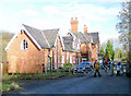
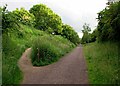
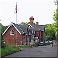
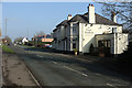
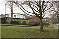
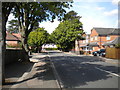
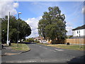
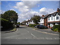
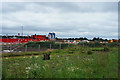
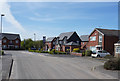
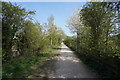
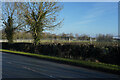
100 photos from this area
Area Information
Key information about the DE3 9FH including its size, population, and administrative classification.
- Area Type
- Postcode
- Area Size
- 1.5 hectares
- Population
- 2530
- Population Density
- 2483 people/km²
House Prices in DE3 9FH
19
Properties
£300,571
Average Sold Price
£93,500
Lowest Price
£650,000
Highest Price
Showing 19 properties
| Address | Type | Beds | Baths | Last Sale Price | Last Sale Date | |
|---|---|---|---|---|---|---|
| 185A Station Road, Mickleover, Derby, DE3 9FH | Detached | 4 | 2 | £545,000 | Dec 2023 | |
| 179 Station Road, Mickleover, Derby, DE3 9FH | Semi-detached | 7 | 3 | £650,000 | Sep 2021 | |
| 212 Station Road, Mickleover, Derby, DE3 9FH | house | 3 | - | £540,000 | Oct 2020 | |
| 206 Station Road, Mickleover, Derby, DE3 9FH | Semi-detached | 3 | - | £200,000 | Dec 2018 | |
| 214 Station Road, Mickleover, Derby, DE3 9FH | Bungalow | 3 | 2 | £360,000 | Mar 2016 | |
| 183 Station Road, Mickleover, Derby, DE3 9FH | Detached | 3 | 1 | £150,000 | Mar 2010 | |
| 181 Station Road, Mickleover, Derby, DE3 9FH | house | - | - | £162,500 | Sep 2009 | |
| 202 Station Road, Mickleover, Derby, DE3 9FH | Detached | 4 | 2 | £350,000 | Jan 2007 | |
| 198 Station Road, Mickleover, Derby, DE3 9FH | Semi-detached | 5 | 2 | £342,000 | Dec 2006 | |
| 196 Station Road, Mickleover, Derby, DE3 9FH | Semi-detached | - | - | £195,000 | Nov 2006 |
Page 1 of 2
Energy Efficiency in DE3 9FH
Amenities
Schools
| Rank | School | Type | Entry gender | Ages |
|---|
Explore more schools in this area
Go to Schools tabDemographics
Household Size
Two person
most common
Accommodation Type
Houses
most common
Tenure
85
majority
Ethnic Group
White
most common
Religion
N/A
most common
Household Composition
N/A
most common
Age
47
median
Adults (30-64 years)
most common
Household Deprivation
N/A
with no deprivation
NS-SEC
47
in Lower managerial occupations
Explore more demographic insights in this area
Go to Demographics tabPlanning
Planning Constraints
- Flood RiskPremium
- Ramsar Wetland SitesPremium
- Area of Outstanding Natural BeautyPremium
- Protected Nature ReservePremium
- Protected WoodlandPremium