Area Overview for DE24 8RH
Photos of DE24 8RH
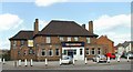
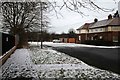
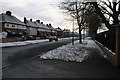
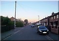
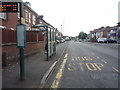
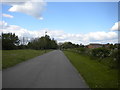
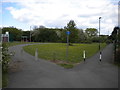
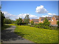
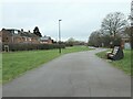
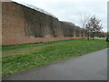
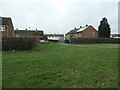
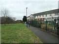
30 photos from this area
Area Information
Key information about the DE24 8RH including its size, population, and administrative classification.
- Area Type
- Postcode
- Area Size
- 5127 m²
- Population
- 1878
- Population Density
- 8639 people/km²
House Prices in DE24 8RH
34
Properties
£87,052
Average Sold Price
£22,000
Lowest Price
£220,339
Highest Price
Showing 34 properties
| Address | Type | Beds | Baths | Last Sale Price | Last Sale Date | |
|---|---|---|---|---|---|---|
| 46 Haig Street, Derby, DE24 8RH | Terraced | 2 | 1 | £122,000 | Nov 2024 | |
| 66 Haig Street, Derby, DE24 8RH | Terraced | 3 | 1 | £119,000 | Oct 2024 | |
| 72 Haig Street, Derby, DE24 8RH | Terraced | 3 | 1 | £117,000 | Apr 2023 | |
| 54 Haig Street, Derby, DE24 8RH | house | 2 | - | £127,000 | Oct 2022 | |
| 42 Haig Street, Derby, DE24 8RH | house | 3 | 1 | £122,000 | Jun 2022 | |
| 22 Haig Street, Derby, DE24 8RH | Terraced | 3 | 1 | £125,000 | Feb 2022 | |
| 70 Haig Street, Derby, DE24 8RH | Terraced | 2 | 1 | £83,500 | Jun 2020 | |
| 60 Haig Street, Derby, DE24 8RH | house | 2 | - | £220,339 | Oct 2019 | |
| 12 Haig Street, Derby, DE24 8RH | Semi-detached | 2 | 1 | £90,000 | Dec 2018 | |
| 28 Haig Street, Derby, DE24 8RH | Terraced | 2 | 1 | £72,500 | Mar 2015 |
Page 1 of 4
Energy Efficiency in DE24 8RH
Amenities
Schools
| Rank | School | Type | Entry gender | Ages |
|---|
Explore more schools in this area
Go to Schools tabDemographics
Household Size
One person
most common
Accommodation Type
Houses
most common
Tenure
50
majority
Ethnic Group
White
most common
Religion
N/A
most common
Household Composition
N/A
most common
Age
47
median
Adults (30-64 years)
most common
Household Deprivation
N/A
with no deprivation
NS-SEC
22
in Lower managerial occupations
Explore more demographic insights in this area
Go to Demographics tabPlanning
Planning Constraints
- Flood RiskPremium
- Ramsar Wetland SitesPremium
- Area of Outstanding Natural BeautyPremium
- Protected Nature ReservePremium
- Protected WoodlandPremium