Area Overview for DE24 8NR
Photos of DE24 8NR
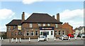
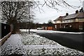
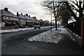
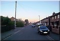
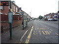
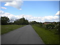
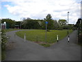
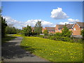
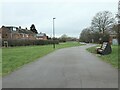
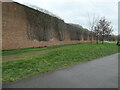
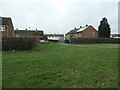
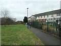
30 photos from this area
Area Information
Key information about the DE24 8NR including its size, population, and administrative classification.
- Area Type
- Postcode
- Area Size
- 9814 m²
- Population
- 1686
- Population Density
- 7868 people/km²
House Prices in DE24 8NR
27
Properties
£113,495
Average Sold Price
£65,000
Lowest Price
£180,000
Highest Price
Showing 27 properties
| Address | Type | Beds | Baths | Last Sale Price | Last Sale Date | |
|---|---|---|---|---|---|---|
| 37 Benson Street, Derby, DE24 8NR | house | - | - | £125,000 | Oct 2024 | |
| 31 Benson Street, Derby, DE24 8NR | Semi-detached | 3 | 1 | £180,000 | Jul 2024 | |
| 23 Benson Street, Derby, DE24 8NR | house | - | - | £92,500 | Jul 2023 | |
| 29 Benson Street, Derby, DE24 8NR | house | 2 | - | £136,000 | May 2021 | |
| 11 Benson Street, Derby, DE24 8NR | house | 1 | - | £115,000 | May 2021 | |
| 53 Benson Street, Derby, DE24 8NR | Semi-detached | 4 | 2 | £142,000 | Jan 2020 | |
| 43 Benson Street, Derby, DE24 8NR | Semi-detached | 3 | 2 | £121,000 | Dec 2016 | |
| 49 Benson Street, Derby, DE24 8NR | Terraced | 3 | - | £65,000 | May 2005 | |
| 57 Benson Street, Derby, DE24 8NR | house | - | - | £89,950 | Sep 2004 | |
| 17 Benson Street, Derby, DE24 8NR | Semi-detached | - | - | £68,500 | Mar 2004 |
Page 1 of 3
Energy Efficiency in DE24 8NR
Amenities
Schools
| Rank | School | Type | Entry gender | Ages |
|---|
Explore more schools in this area
Go to Schools tabDemographics
Household Size
Family (3-5 people)
most common
Accommodation Type
Houses
most common
Tenure
48
majority
Ethnic Group
White
most common
Religion
N/A
most common
Household Composition
N/A
most common
Age
47
median
Adults (30-64 years)
most common
Household Deprivation
N/A
with no deprivation
NS-SEC
18
in Lower managerial occupations
Explore more demographic insights in this area
Go to Demographics tabPlanning
Planning Constraints
- Flood RiskPremium
- Ramsar Wetland SitesPremium
- Area of Outstanding Natural BeautyPremium
- Protected Nature ReservePremium
- Protected WoodlandPremium