Area Overview for DE24 8LQ
Photos of DE24 8LQ
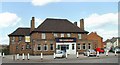
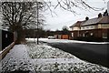
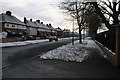
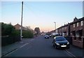
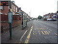
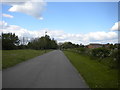
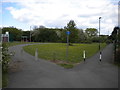
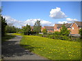
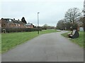
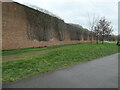
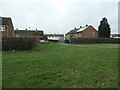
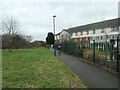
30 photos from this area
Area Information
Key information about the DE24 8LQ including its size, population, and administrative classification.
- Area Type
- Postcode
- Area Size
- 9175 m²
- Population
- 2364
- Population Density
- 2945 people/km²
House Prices in DE24 8LQ
27
Properties
£88,300
Average Sold Price
£13,500
Lowest Price
£163,500
Highest Price
Showing 27 properties
| Address | Type | Beds | Baths | Last Sale Price | Last Sale Date | |
|---|---|---|---|---|---|---|
| 37 Bemrose Road, Derby, DE24 8LQ | house | - | - | £163,500 | Feb 2025 | |
| 45 Bemrose Road, Derby, DE24 8LQ | house | - | - | £100,000 | Dec 2023 | |
| 46 Bemrose Road, Derby, DE24 8LQ | Terraced | 3 | 1 | £160,000 | Jul 2023 | |
| 48 Bemrose Road, Derby, DE24 8LQ | Terraced | 3 | 2 | £135,000 | Sep 2020 | |
| 36 Bemrose Road, Derby, DE24 8LQ | Terraced | 3 | 1 | £113,000 | Oct 2018 | |
| 34 Bemrose Road, Derby, DE24 8LQ | Terraced | 3 | - | £100,000 | Aug 2015 | |
| 59 Bemrose Road, Derby, DE24 8LQ | Semi-detached | 3 | 1 | £106,500 | May 2015 | |
| 33 Bemrose Road, Derby, DE24 8LQ | Semi-detached | 3 | - | £95,000 | Jan 2014 | |
| 57 Bemrose Road, Derby, DE24 8LQ | house | - | - | £92,000 | Jul 2013 | |
| 42 Bemrose Road, Derby, DE24 8LQ | Terraced | 3 | 1 | £62,000 | Dec 2010 |
Page 1 of 3
Energy Efficiency in DE24 8LQ
Amenities
Schools
| Rank | School | Type | Entry gender | Ages |
|---|
Explore more schools in this area
Go to Schools tabDemographics
Household Size
One person
most common
Accommodation Type
Houses
most common
Tenure
32
majority
Ethnic Group
White
most common
Religion
N/A
most common
Household Composition
N/A
most common
Age
47
median
Adults (30-64 years)
most common
Household Deprivation
N/A
with no deprivation
NS-SEC
16
in Lower managerial occupations
Explore more demographic insights in this area
Go to Demographics tabPlanning
Planning Constraints
- Flood RiskPremium
- Ramsar Wetland SitesPremium
- Area of Outstanding Natural BeautyPremium
- Protected Nature ReservePremium
- Protected WoodlandPremium