Area Overview for DE24 8EX
Photos of DE24 8EX
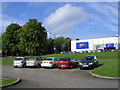

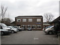
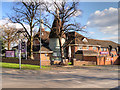
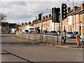
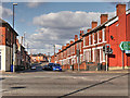
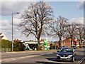
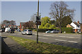
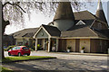
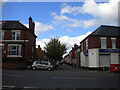
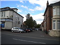
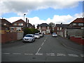
52 photos from this area
Area Information
Key information about the DE24 8EX including its size, population, and administrative classification.
- Area Type
- Postcode
- Area Size
- 1.3 hectares
- Population
- 2057
- Population Density
- 1104 people/km²
House Prices in DE24 8EX
18
Properties
£72,488
Average Sold Price
£27,450
Lowest Price
£99,000
Highest Price
Showing 18 properties
| Address | Type | Beds | Baths | Last Sale Price | Last Sale Date | |
|---|---|---|---|---|---|---|
| 134 Osmaston Park Road, Derby, DE24 8EX | Semi-detached | 3 | 1 | £99,000 | Aug 2007 | |
| 130 Osmaston Park Road, Derby, DE24 8EX | house | - | - | £98,500 | Aug 2005 | |
| 106 Osmaston Park Road, Derby, DE24 8EX | house | - | - | £65,000 | Aug 2003 | |
| 102 Osmaston Park Road, Derby, DE24 8EX | house | - | - | £27,450 | Jul 1999 | |
| 124 Osmaston Park Road, Derby, DE24 8EX | Semi-detached | 4 | 2 | - | - | |
| 118 Osmaston Park Road, Derby, DE24 8EX | Semi-detached | 4 | 2 | - | - | |
| 120 Osmaston Park Road, Derby, DE24 8EX | house | - | - | - | - | |
| 128 Osmaston Park Road, Derby, DE24 8EX | house | - | - | - | - | |
| 136 Osmaston Park Road, Derby, DE24 8EX | house | - | - | - | - | |
| 108 Osmaston Park Road, Derby, DE24 8EX | Semi-detached | - | - | - | - |
Page 1 of 2
Energy Efficiency in DE24 8EX
Amenities
Schools
| Rank | School | Type | Entry gender | Ages |
|---|
Explore more schools in this area
Go to Schools tabDemographics
Household Size
Family (3-5 people)
most common
Accommodation Type
Houses
most common
Tenure
37
majority
Ethnic Group
White
most common
Religion
N/A
most common
Household Composition
N/A
most common
Age
22
median
Adults (30-64 years)
most common
Household Deprivation
N/A
with no deprivation
NS-SEC
13
in Lower managerial occupations
Explore more demographic insights in this area
Go to Demographics tabPlanning
Planning Constraints
- Flood RiskPremium
- Ramsar Wetland SitesPremium
- Area of Outstanding Natural BeautyPremium
- Protected Nature ReservePremium
- Protected WoodlandPremium