Area Overview for DE24 3DB
Photos of DE24 3DB
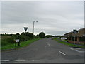

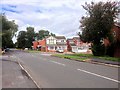
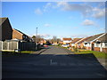
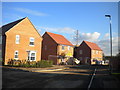
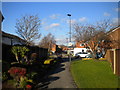
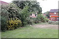
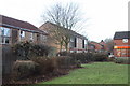
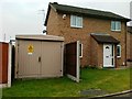
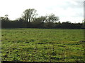
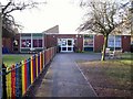
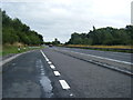
18 photos from this area
Area Information
Key information about the DE24 3DB including its size, population, and administrative classification.
- Area Type
- Postcode
- Area Size
- 1.0 hectares
- Population
- 1564
- Population Density
- 731 people/km²
House Prices in DE24 3DB
27
Properties
£124,972
Average Sold Price
£32,500
Lowest Price
£249,000
Highest Price
Showing 27 properties
| Address | Type | Beds | Baths | Last Sale Price | Last Sale Date | |
|---|---|---|---|---|---|---|
| 2 Farmhouse Road, Derby, DE24 3DB | house | 4 | 3 | £151,500 | Aug 2024 | |
| 34 Farmhouse Road, Derby, DE24 3DB | Terraced | 3 | - | £155,000 | Apr 2023 | |
| 40 Farmhouse Road, Derby, DE24 3DB | house | - | - | £249,000 | Apr 2021 | |
| 46 Farmhouse Road, Derby, DE24 3DB | Detached | 3 | 3 | £175,000 | Aug 2018 | |
| 48 Farmhouse Road, Derby, DE24 3DB | house | 4 | - | £227,000 | Jan 2018 | |
| 26 Farmhouse Road, Derby, DE24 3DB | house | - | - | £84,000 | Jul 2017 | |
| 54 Farmhouse Road, Derby, DE24 3DB | Detached | 4 | 2 | £235,000 | Oct 2016 | |
| 4 Farmhouse Road, Derby, DE24 3DB | house | 2 | 1 | £85,000 | Nov 2014 | |
| 28 Farmhouse Road, Derby, DE24 3DB | Terraced | - | - | £51,000 | May 2010 | |
| 52 Farmhouse Road, Derby, DE24 3DB | Detached | - | - | £75,000 | Nov 2009 |
Page 1 of 3
Energy Efficiency in DE24 3DB
Amenities
Schools
| Rank | School | Type | Entry gender | Ages |
|---|
Explore more schools in this area
Go to Schools tabDemographics
Household Size
One person
most common
Accommodation Type
Houses
most common
Tenure
53
majority
Ethnic Group
White
most common
Religion
N/A
most common
Household Composition
N/A
most common
Age
47
median
Adults (30-64 years)
most common
Household Deprivation
N/A
with no deprivation
NS-SEC
18
in Lower managerial occupations
Explore more demographic insights in this area
Go to Demographics tabPlanning
Planning Constraints
- Flood RiskPremium
- Ramsar Wetland SitesPremium
- Area of Outstanding Natural BeautyPremium
- Protected Nature ReservePremium
- Protected WoodlandPremium