Area Overview for DE24 3DA
Photos of DE24 3DA
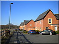
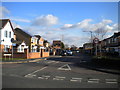
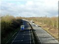
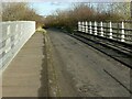
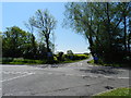
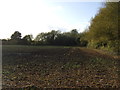
21 photos from this area
Area Information
Key information about the DE24 3DA including its size, population, and administrative classification.
- Area Type
- Postcode
- Area Size
- 1.8 hectares
- Population
- 1348
- Population Density
- 5211 people/km²
House Prices in DE24 3DA
32
Properties
£131,825
Average Sold Price
£39,500
Lowest Price
£225,000
Highest Price
Showing 32 properties
| Address | Type | Beds | Baths | Last Sale Price | Last Sale Date | |
|---|---|---|---|---|---|---|
| 561 Arleston Lane, Stenson Fields, Derby, DE24 3DA | house | 3 | 1 | £222,000 | Apr 2025 | |
| 517 Arleston Lane, Stenson Fields, Derby, DE24 3DA | Semi-detached | 3 | 1 | £225,000 | Nov 2024 | |
| 549 Arleston Lane, Stenson Fields, Derby, DE24 3DA | Bungalow | 2 | 1 | £217,000 | Feb 2023 | |
| 513 Arleston Lane, Stenson Fields, Derby, DE24 3DA | Bungalow | - | - | £163,500 | May 2021 | |
| 547 Arleston Lane, Stenson Fields, Derby, DE24 3DA | Bungalow | 2 | 1 | £161,000 | Sep 2020 | |
| 501 Arleston Lane, Stenson Fields, Derby, DE24 3DA | Bungalow | 2 | 1 | £161,500 | Sep 2020 | |
| 521 Arleston Lane, Stenson Fields, Derby, DE24 3DA | Semi-detached | 3 | 1 | £75,500 | Mar 2018 | |
| 555 Arleston Lane, Stenson Fields, Derby, DE24 3DA | Detached | 3 | - | £156,000 | Nov 2017 | |
| 543 Arleston Lane, Stenson Fields, Derby, DE24 3DA | Bungalow | 2 | - | £118,000 | Apr 2016 | |
| 511 Arleston Lane, Stenson Fields, Derby, DE24 3DA | Bungalow | 2 | 1 | £121,000 | Feb 2015 |
Page 1 of 4
Energy Efficiency in DE24 3DA
Amenities
Schools
| Rank | School | Type | Entry gender | Ages |
|---|
Explore more schools in this area
Go to Schools tabDemographics
Household Size
Two person
most common
Accommodation Type
Houses
most common
Tenure
86
majority
Ethnic Group
White
most common
Religion
N/A
most common
Household Composition
N/A
most common
Age
47
median
Adults (30-64 years)
most common
Household Deprivation
N/A
with no deprivation
NS-SEC
26
in Lower managerial occupations
Explore more demographic insights in this area
Go to Demographics tabPlanning
Planning Constraints
- Flood RiskPremium
- Ramsar Wetland SitesPremium
- Area of Outstanding Natural BeautyPremium
- Protected Nature ReservePremium
- Protected WoodlandPremium