Area Overview for DE24 1AB
Photos of DE24 1AB

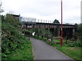
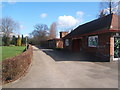
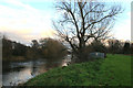
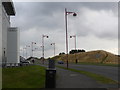
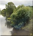
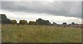
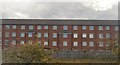
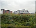
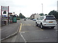
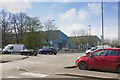
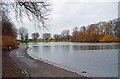
82 photos from this area
Area Information
Key information about the DE24 1AB including its size, population, and administrative classification.
- Area Type
- Postcode
- Area Size
- 1.2 hectares
- Population
- 1591
- Population Density
- 807 people/km²
House Prices in DE24 1AB
89
Properties
£124,921
Average Sold Price
£34,000
Lowest Price
£218,000
Highest Price
Showing 89 properties
| Address | Type | Beds | Baths | Last Sale Price | Last Sale Date | |
|---|---|---|---|---|---|---|
| 53 Atlantic Way, Derby, DE24 1AB | Terraced | 2 | 2 | £160,000 | Oct 2025 | |
| 1 Atlantic Way, Derby, DE24 1AB | Semi-detached | 3 | 2 | £80,000 | Sep 2025 | |
| 85 Atlantic Way, Derby, DE24 1AB | Flat | - | - | £125,000 | Apr 2025 | |
| 64 Atlantic Way, Derby, DE24 1AB | Terraced | 3 | - | £180,000 | Dec 2024 | |
| 41 Atlantic Way, Derby, DE24 1AB | Terraced | 3 | 1 | £167,500 | Apr 2024 | |
| 14 Atlantic Way, Derby, DE24 1AB | Flat | - | - | £118,000 | Apr 2024 | |
| 24 Atlantic Way, Derby, DE24 1AB | Flat | - | - | £116,000 | Mar 2023 | |
| 33 Atlantic Way, Derby, DE24 1AB | Flat | 2 | 2 | £117,500 | Feb 2023 | |
| 22 Atlantic Way, Derby, DE24 1AB | Flat | 2 | 2 | £110,000 | Feb 2023 | |
| 49 Atlantic Way, Derby, DE24 1AB | Flat | 2 | 2 | £115,000 | Dec 2022 |
Page 1 of 9
Energy Efficiency in DE24 1AB
Amenities
Schools
| Rank | School | Type | Entry gender | Ages |
|---|
Explore more schools in this area
Go to Schools tabDemographics
Household Size
One person
most common
Accommodation Type
Houses
most common
Tenure
32
majority
Ethnic Group
White
most common
Religion
N/A
most common
Household Composition
N/A
most common
Age
47
median
Adults (30-64 years)
most common
Household Deprivation
N/A
with no deprivation
NS-SEC
26
in Lower managerial occupations
Explore more demographic insights in this area
Go to Demographics tabPlanning
Planning Constraints
- Flood RiskPremium
- Ramsar Wetland SitesPremium
- Area of Outstanding Natural BeautyPremium
- Protected Nature ReservePremium
- Protected WoodlandPremium