Area Overview for DE24 0DN
Photos of DE24 0DN
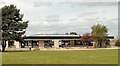
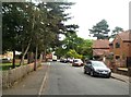

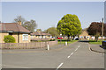
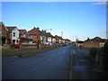
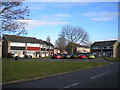
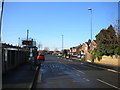
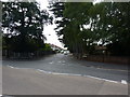
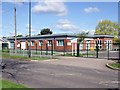
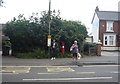
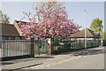
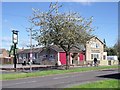
16 photos from this area
Area Information
Key information about the DE24 0DN including its size, population, and administrative classification.
- Area Type
- Postcode
- Area Size
- 7082 m²
- Population
- 1699
- Population Density
- 5742 people/km²
House Prices in DE24 0DN
26
Properties
£106,205
Average Sold Price
£29,250
Lowest Price
£200,000
Highest Price
Showing 26 properties
| Address | Type | Beds | Baths | Last Sale Price | Last Sale Date | |
|---|---|---|---|---|---|---|
| 5 Peterlee Place, Derby, DE24 0DN | house | - | - | £190,000 | Oct 2024 | |
| 3 Peterlee Place, Derby, DE24 0DN | house | - | - | £200,000 | Oct 2022 | |
| 7 Peterlee Place, Derby, DE24 0DN | house | - | - | £130,000 | Jun 2020 | |
| 20 Peterlee Place, Derby, DE24 0DN | Semi-detached | 2 | 1 | £125,000 | Aug 2019 | |
| 10 Peterlee Place, Derby, DE24 0DN | Semi-detached | - | - | £135,000 | Sep 2018 | |
| 1 Peterlee Place, Derby, DE24 0DN | house | 3 | - | £103,500 | Jun 2010 | |
| 23 Peterlee Place, Derby, DE24 0DN | house | - | - | £97,000 | Feb 2010 | |
| 12 Peterlee Place, Derby, DE24 0DN | house | - | - | £94,000 | Feb 2005 | |
| 19 Peterlee Place, Derby, DE24 0DN | house | - | - | £31,000 | Oct 1998 | |
| 11 Peterlee Place, Derby, DE24 0DN | house | - | - | £29,250 | Jan 1998 |
Page 1 of 3
Energy Efficiency in DE24 0DN
Amenities
Schools
| Rank | School | Type | Entry gender | Ages |
|---|
Explore more schools in this area
Go to Schools tabDemographics
Household Size
Two person
most common
Accommodation Type
Houses
most common
Tenure
75
majority
Ethnic Group
White
most common
Religion
N/A
most common
Household Composition
N/A
most common
Age
47
median
Adults (30-64 years)
most common
Household Deprivation
N/A
with no deprivation
NS-SEC
23
in Lower managerial occupations
Explore more demographic insights in this area
Go to Demographics tabPlanning
Planning Constraints
- Flood RiskPremium
- Ramsar Wetland SitesPremium
- Area of Outstanding Natural BeautyPremium
- Protected Nature ReservePremium
- Protected WoodlandPremium