Area Overview for DE24 0AW
Photos of DE24 0AW
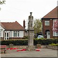
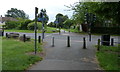
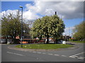
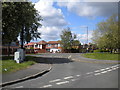
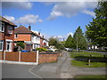
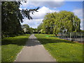
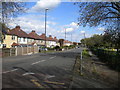
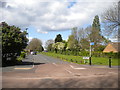
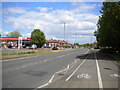
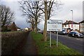
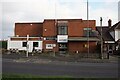
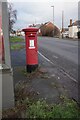
45 photos from this area
Area Information
Key information about the DE24 0AW including its size, population, and administrative classification.
- Area Type
- Postcode
- Area Size
- 9676 m²
- Population
- 1542
- Population Density
- 4814 people/km²
House Prices in DE24 0AW
26
Properties
£154,438
Average Sold Price
£44,500
Lowest Price
£237,500
Highest Price
Showing 26 properties
| Address | Type | Beds | Baths | Last Sale Price | Last Sale Date | |
|---|---|---|---|---|---|---|
| 13 Arlington Drive, Derby, DE24 0AW | Detached | 2 | 1 | £210,000 | Aug 2025 | |
| 17 Arlington Drive, Derby, DE24 0AW | Semi-detached | 2 | 1 | £188,000 | Feb 2025 | |
| 29 Arlington Drive, Derby, DE24 0AW | Semi-detached | 3 | 1 | £237,500 | Feb 2025 | |
| 31 Arlington Drive, Derby, DE24 0AW | Semi-detached | 3 | 1 | £218,000 | Mar 2024 | |
| 41 Arlington Drive, Derby, DE24 0AW | house | 4 | - | £225,000 | Jul 2022 | |
| 35 Arlington Drive, Derby, DE24 0AW | house | 3 | 1 | £160,000 | Jan 2022 | |
| 33 Arlington Drive, Derby, DE24 0AW | house | - | - | £157,000 | Aug 2021 | |
| 7 Arlington Drive, Derby, DE24 0AW | Detached | 2 | 1 | £170,000 | Feb 2020 | |
| 25 Arlington Drive, Derby, DE24 0AW | Semi-detached | 2 | 1 | £124,950 | Mar 2016 | |
| 19 Arlington Drive, Derby, DE24 0AW | Semi-detached | 3 | 1 | £92,000 | Apr 2014 |
Page 1 of 3
Energy Efficiency in DE24 0AW
Amenities
Schools
| Rank | School | Type | Entry gender | Ages |
|---|
Explore more schools in this area
Go to Schools tabDemographics
Household Size
Family (3-5 people)
most common
Accommodation Type
Houses
most common
Tenure
78
majority
Ethnic Group
White
most common
Religion
N/A
most common
Household Composition
N/A
most common
Age
47
median
Adults (30-64 years)
most common
Household Deprivation
N/A
with no deprivation
NS-SEC
24
in Lower managerial occupations
Explore more demographic insights in this area
Go to Demographics tabPlanning
Planning Constraints
- Flood RiskPremium
- Ramsar Wetland SitesPremium
- Area of Outstanding Natural BeautyPremium
- Protected Nature ReservePremium
- Protected WoodlandPremium