Area Overview for DE23 8WN
Photos of DE23 8WN

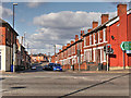
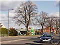
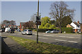
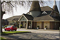
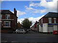
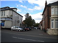
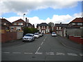
52 photos from this area
Area Information
Key information about the DE23 8WN including its size, population, and administrative classification.
- Area Type
- Postcode
- Area Size
- 5504 m²
- Population
- 1861
- Population Density
- 8256 people/km²
House Prices in DE23 8WN
15
Properties
£107,944
Average Sold Price
£48,000
Lowest Price
£155,000
Highest Price
Showing 15 properties
| Address | Type | Beds | Baths | Last Sale Price | Last Sale Date | |
|---|---|---|---|---|---|---|
| 224 Portland Street, Derby, DE23 8WN | Semi-detached | 3 | 1 | £155,000 | Jun 2024 | |
| 228 Portland Street, Derby, DE23 8WN | Semi-detached | 3 | - | £112,000 | Mar 2018 | |
| 210 Portland Street, Derby, DE23 8WN | Semi-detached | 3 | - | £145,000 | Sep 2017 | |
| 218 Portland Street, Derby, DE23 8WN | Semi-detached | 3 | 1 | £104,000 | Nov 2013 | |
| 226 Portland Street, Derby, DE23 8WN | Semi-detached | 3 | - | £78,500 | Nov 2010 | |
| 216 Portland Street, Derby, DE23 8WN | house | 5 | 5 | £110,000 | May 2008 | |
| 212 Portland Street, Derby, DE23 8WN | house | - | - | £114,000 | Feb 2006 | |
| 232 Portland Street, Derby, DE23 8WN | Semi-detached | 3 | 1 | £105,000 | Jan 2006 | |
| 214 Portland Street, Derby, DE23 8WN | Semi-detached | - | - | £48,000 | May 2002 | |
| 238 Portland Street, Derby, DE23 8WN | Detached | 3 | 1 | - | - |
Page 1 of 2
Energy Efficiency in DE23 8WN
Amenities
Schools
| Rank | School | Type | Entry gender | Ages |
|---|
Explore more schools in this area
Go to Schools tabDemographics
Household Size
Family (3-5 people)
most common
Accommodation Type
Houses
most common
Tenure
58
majority
Ethnic Group
asian_total
most common
Religion
N/A
most common
Household Composition
N/A
most common
Age
47
median
Adults (30-64 years)
most common
Household Deprivation
N/A
with no deprivation
NS-SEC
13
in Lower managerial occupations
Explore more demographic insights in this area
Go to Demographics tabPlanning
Planning Constraints
- Flood RiskPremium
- Ramsar Wetland SitesPremium
- Area of Outstanding Natural BeautyPremium
- Protected Nature ReservePremium
- Protected WoodlandPremium