Area Overview for DE23 8RQ
Photos of DE23 8RQ
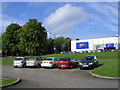

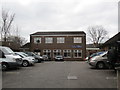
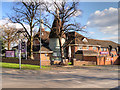
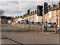
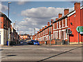
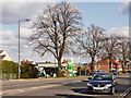
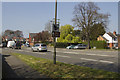
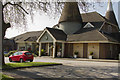
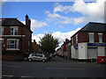
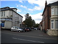
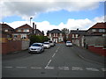
52 photos from this area
Area Information
Key information about the DE23 8RQ including its size, population, and administrative classification.
- Area Type
- Postcode
- Area Size
- 1.8 hectares
- Population
- 1861
- Population Density
- 8256 people/km²
House Prices in DE23 8RQ
41
Properties
£107,672
Average Sold Price
£28,000
Lowest Price
£172,000
Highest Price
Showing 41 properties
| Address | Type | Beds | Baths | Last Sale Price | Last Sale Date | |
|---|---|---|---|---|---|---|
| 97 Pear Tree Crescent, Derby, DE23 8RQ | house | - | - | £130,000 | Jun 2025 | |
| 107 Pear Tree Crescent, Derby, DE23 8RQ | house | 3 | 1 | £172,000 | Feb 2025 | |
| 121 Pear Tree Crescent, Derby, DE23 8RQ | Bungalow | 3 | 1 | £151,000 | Jun 2023 | |
| 90 Pear Tree Crescent, Derby, DE23 8RQ | house | - | - | £150,000 | Jan 2022 | |
| 93 Pear Tree Crescent, Derby, DE23 8RQ | house | - | - | £170,000 | Dec 2021 | |
| 111 Pear Tree Crescent, Derby, DE23 8RQ | house | - | - | £135,000 | Jun 2021 | |
| 89 Pear Tree Crescent, Derby, DE23 8RQ | Bungalow | - | - | £115,000 | Apr 2021 | |
| 70 Pear Tree Crescent, Derby, DE23 8RQ | Semi-detached | 2 | 1 | £85,000 | Dec 2019 | |
| 125 Pear Tree Crescent, Derby, DE23 8RQ | house | - | - | £155,000 | Dec 2019 | |
| 123 Pear Tree Crescent, Derby, DE23 8RQ | house | - | - | £121,000 | Jul 2017 |
Page 1 of 5
Energy Efficiency in DE23 8RQ
Amenities
Schools
| Rank | School | Type | Entry gender | Ages |
|---|
Explore more schools in this area
Go to Schools tabDemographics
Household Size
Family (3-5 people)
most common
Accommodation Type
Houses
most common
Tenure
58
majority
Ethnic Group
asian_total
most common
Religion
N/A
most common
Household Composition
N/A
most common
Age
47
median
Adults (30-64 years)
most common
Household Deprivation
N/A
with no deprivation
NS-SEC
13
in Lower managerial occupations
Explore more demographic insights in this area
Go to Demographics tabPlanning
Planning Constraints
- Flood RiskPremium
- Ramsar Wetland SitesPremium
- Area of Outstanding Natural BeautyPremium
- Protected Nature ReservePremium
- Protected WoodlandPremium