Area Overview for DE23 8AZ
Photos of DE23 8AZ
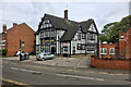
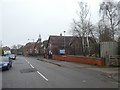
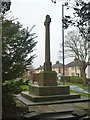
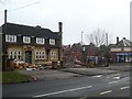
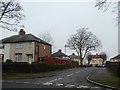
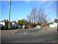
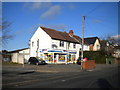
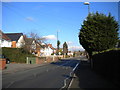
25 photos from this area
Area Information
Key information about the DE23 8AZ including its size, population, and administrative classification.
- Area Type
- Postcode
- Area Size
- 1.1 hectares
- Population
- 2126
- Population Density
- 5847 people/km²
House Prices in DE23 8AZ
33
Properties
£80,581
Average Sold Price
£10,780
Lowest Price
£160,000
Highest Price
Showing 33 properties
| Address | Type | Beds | Baths | Last Sale Price | Last Sale Date | |
|---|---|---|---|---|---|---|
| 31 Patmore Square, Derby, DE23 8AZ | house | - | - | £160,000 | May 2025 | |
| 34 Patmore Square, Derby, DE23 8AZ | house | 3 | - | £83,000 | Jul 2022 | |
| 13 Patmore Square, Derby, DE23 8AZ | house | - | - | £113,000 | Jan 2019 | |
| 4 Patmore Square, Derby, DE23 8AZ | house | 3 | - | £108,000 | Dec 2017 | |
| 8 Patmore Square, Derby, DE23 8AZ | house | 3 | 1 | £103,000 | Oct 2006 | |
| 32 Patmore Square, Derby, DE23 8AZ | Semi-detached | 3 | 1 | £64,950 | Mar 2004 | |
| 26 Patmore Square, Derby, DE23 8AZ | house | - | - | £59,000 | Mar 2004 | |
| 11 Patmore Square, Derby, DE23 8AZ | house | - | - | £10,780 | Oct 2001 | |
| 12 Patmore Square, Derby, DE23 8AZ | house | 2 | 1 | £23,500 | Aug 1999 | |
| 2 Patmore Square, Derby, DE23 8AZ | Semi-detached | 3 | 1 | - | - |
Page 1 of 4
Energy Efficiency in DE23 8AZ
Amenities
Schools
| Rank | School | Type | Entry gender | Ages |
|---|
Explore more schools in this area
Go to Schools tabDemographics
Household Size
Family (3-5 people)
most common
Accommodation Type
Houses
most common
Tenure
34
majority
Ethnic Group
White
most common
Religion
N/A
most common
Household Composition
N/A
most common
Age
47
median
Adults (30-64 years)
most common
Household Deprivation
N/A
with no deprivation
NS-SEC
15
in Lower managerial occupations
Explore more demographic insights in this area
Go to Demographics tabPlanning
Planning Constraints
- Flood RiskPremium
- Ramsar Wetland SitesPremium
- Area of Outstanding Natural BeautyPremium
- Protected Nature ReservePremium
- Protected WoodlandPremium