Area Overview for DE23 6TP
Photos of DE23 6TP
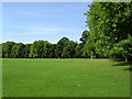
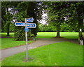
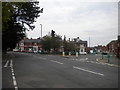
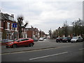
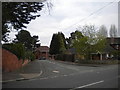
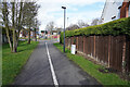
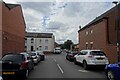
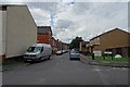
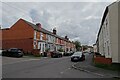
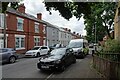
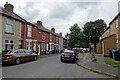
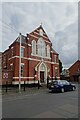
33 photos from this area
Area Information
Key information about the DE23 6TP including its size, population, and administrative classification.
- Area Type
- Postcode
- Area Size
- 8586 m²
- Population
- 2019
- Population Density
- 9546 people/km²
House Prices in DE23 6TP
38
Properties
£181,214
Average Sold Price
£69,500
Lowest Price
£250,000
Highest Price
Showing 38 properties
| Address | Type | Beds | Baths | Last Sale Price | Last Sale Date | |
|---|---|---|---|---|---|---|
| 14 Vicarage Avenue, Derby, DE23 6TP | Semi-detached | 4 | 1 | £244,316 | Aug 2024 | |
| 36 Vicarage Avenue, Derby, DE23 6TP | house | - | - | £250,000 | Jul 2022 | |
| 22 Vicarage Avenue, Derby, DE23 6TP | house | - | - | £223,500 | May 2022 | |
| 52 Vicarage Avenue, Derby, DE23 6TP | house | 6 | - | £202,000 | Apr 2022 | |
| 56 Vicarage Avenue, Derby, DE23 6TP | Detached | 3 | 1 | £200,000 | Aug 2021 | |
| 50 Vicarage Avenue, Derby, DE23 6TP | Detached | 4 | - | £210,000 | Jun 2020 | |
| 18 Vicarage Avenue, Derby, DE23 6TP | house | - | - | £175,000 | Mar 2018 | |
| 34 Vicarage Avenue, Derby, DE23 6TP | Semi-detached | 3 | - | £193,000 | Jan 2017 | |
| 58 Vicarage Avenue, Derby, DE23 6TP | Semi-detached | 4 | - | £179,000 | Aug 2015 | |
| 54 Vicarage Avenue, Derby, DE23 6TP | Semi-detached | - | - | £200,000 | Sep 2014 |
Page 1 of 4
Energy Efficiency in DE23 6TP
Amenities
Schools
| Rank | School | Type | Entry gender | Ages |
|---|
Explore more schools in this area
Go to Schools tabDemographics
Household Size
Family (3-5 people)
most common
Accommodation Type
Houses
most common
Tenure
55
majority
Ethnic Group
asian_total
most common
Religion
N/A
most common
Household Composition
N/A
most common
Age
47
median
Adults (30-64 years)
most common
Household Deprivation
N/A
with no deprivation
NS-SEC
19
in Lower managerial occupations
Explore more demographic insights in this area
Go to Demographics tabPlanning
Planning Constraints
- Flood RiskPremium
- Ramsar Wetland SitesPremium
- Area of Outstanding Natural BeautyPremium
- Protected Nature ReservePremium
- Protected WoodlandPremium