Area Overview for DE23 6RA
Photos of DE23 6RA
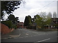
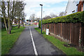
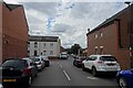
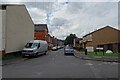
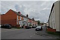
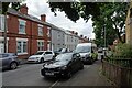
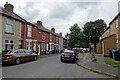
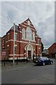
33 photos from this area
Area Information
Key information about the DE23 6RA including its size, population, and administrative classification.
- Area Type
- Postcode
- Area Size
- 7554 m²
- Population
- 2041
- Population Density
- 14213 people/km²
House Prices in DE23 6RA
53
Properties
£77,837
Average Sold Price
£20,000
Lowest Price
£155,000
Highest Price
Showing 53 properties
| Address | Type | Beds | Baths | Last Sale Price | Last Sale Date | |
|---|---|---|---|---|---|---|
| 70 Porter Road, Derby, DE23 6RA | Terraced | 3 | 2 | £155,000 | Jun 2024 | |
| 68 Porter Road, Derby, DE23 6RA | Terraced | 3 | 2 | £151,000 | Feb 2024 | |
| 88 Porter Road, Derby, DE23 6RA | house | - | - | £150,000 | May 2023 | |
| 120 Porter Road, Derby, DE23 6RA | Terraced | 4 | - | £70,000 | Jul 2022 | |
| 76 Porter Road, Derby, DE23 6RA | house | - | - | £97,500 | Jan 2021 | |
| 72 Porter Road, Derby, DE23 6RA | house | - | - | £103,000 | Nov 2020 | |
| 122 Porter Road, Derby, DE23 6RA | house | 3 | - | £115,000 | Jan 2020 | |
| 74 Porter Road, Derby, DE23 6RA | house | - | - | £114,350 | Dec 2019 | |
| 78 Porter Road, Derby, DE23 6RA | Terraced | 4 | - | £120,000 | May 2016 | |
| 118 Porter Road, Derby, DE23 6RA | house | 3 | - | £90,000 | Aug 2015 |
Page 1 of 6
Energy Efficiency in DE23 6RA
Amenities
Schools
| Rank | School | Type | Entry gender | Ages |
|---|
Explore more schools in this area
Go to Schools tabDemographics
Household Size
Family (3-5 people)
most common
Accommodation Type
Houses
most common
Tenure
54
majority
Ethnic Group
asian_total
most common
Religion
N/A
most common
Household Composition
N/A
most common
Age
22
median
Adults (30-64 years)
most common
Household Deprivation
N/A
with no deprivation
NS-SEC
11
in Lower managerial occupations
Explore more demographic insights in this area
Go to Demographics tabPlanning
Planning Constraints
- Flood RiskPremium
- Ramsar Wetland SitesPremium
- Area of Outstanding Natural BeautyPremium
- Protected Nature ReservePremium
- Protected WoodlandPremium