Area Overview for DE23 6JQ
Photos of DE23 6JQ
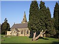
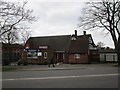
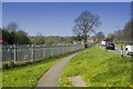
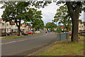
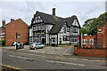
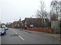
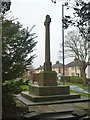
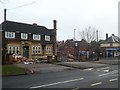
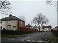
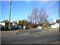
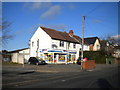
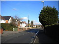
25 photos from this area
Area Information
Key information about the DE23 6JQ including its size, population, and administrative classification.
- Area Type
- Postcode
- Area Size
- 1.0 hectares
- Population
- 1681
- Population Density
- 5248 people/km²
House Prices in DE23 6JQ
25
Properties
£138,703
Average Sold Price
£41,000
Lowest Price
£248,500
Highest Price
Showing 25 properties
| Address | Type | Beds | Baths | Last Sale Price | Last Sale Date | |
|---|---|---|---|---|---|---|
| 11 Foremark Avenue, Derby, DE23 6JQ | Semi-detached | 3 | - | £248,500 | Oct 2024 | |
| 25 Foremark Avenue, Derby, DE23 6JQ | Semi-detached | 3 | 1 | £218,000 | May 2020 | |
| 47 Foremark Avenue, Derby, DE23 6JQ | Semi-detached | 4 | 1 | £205,000 | Sep 2018 | |
| 35 Foremark Avenue, Derby, DE23 6JQ | Semi-detached | - | - | £145,000 | Aug 2017 | |
| 45 Foremark Avenue, Derby, DE23 6JQ | Semi-detached | 3 | 1 | £146,000 | Feb 2017 | |
| 33 Foremark Avenue, Derby, DE23 6JQ | Semi-detached | 3 | 1 | £142,000 | Dec 2014 | |
| 31 Foremark Avenue, Derby, DE23 6JQ | house | - | - | £140,000 | Oct 2013 | |
| 29 Foremark Avenue, Derby, DE23 6JQ | house | - | - | £135,000 | Nov 2012 | |
| 1 Foremark Avenue, Derby, DE23 6JQ | Bungalow | 2 | 1 | £125,250 | Nov 2011 | |
| 15 Foremark Avenue, Derby, DE23 6JQ | house | 3 | - | £128,000 | Nov 2009 |
Page 1 of 3
Energy Efficiency in DE23 6JQ
Amenities
Schools
| Rank | School | Type | Entry gender | Ages |
|---|
Explore more schools in this area
Go to Schools tabDemographics
Household Size
Family (3-5 people)
most common
Accommodation Type
Houses
most common
Tenure
79
majority
Ethnic Group
asian_total
most common
Religion
N/A
most common
Household Composition
N/A
most common
Age
47
median
Adults (30-64 years)
most common
Household Deprivation
N/A
with no deprivation
NS-SEC
28
in Lower managerial occupations
Explore more demographic insights in this area
Go to Demographics tabPlanning
Planning Constraints
- Flood RiskPremium
- Ramsar Wetland SitesPremium
- Area of Outstanding Natural BeautyPremium
- Protected Nature ReservePremium
- Protected WoodlandPremium