Area Overview for DE23 6HJ
Photos of DE23 6HJ

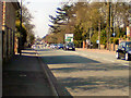
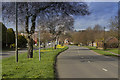
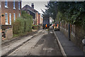
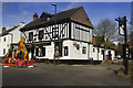
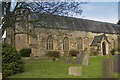
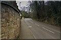
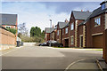
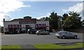
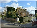
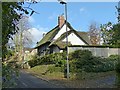
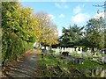
100 photos from this area
Area Information
Key information about the DE23 6HJ including its size, population, and administrative classification.
- Area Type
- Postcode
- Area Size
- 2.4 hectares
- Population
- 1681
- Population Density
- 5248 people/km²
House Prices in DE23 6HJ
30
Properties
£195,019
Average Sold Price
£39,500
Lowest Price
£400,000
Highest Price
Showing 30 properties
| Address | Type | Beds | Baths | Last Sale Price | Last Sale Date | |
|---|---|---|---|---|---|---|
| 145 Warwick Avenue, Derby, DE23 6HJ | Semi-detached | 4 | 2 | £340,000 | Feb 2025 | |
| 131 Warwick Avenue, Derby, DE23 6HJ | house | - | - | £272,000 | Jun 2024 | |
| 141 Warwick Avenue, Derby, DE23 6HJ | house | 4 | 2 | £400,000 | Mar 2021 | |
| 129 Warwick Avenue, Derby, DE23 6HJ | Semi-detached | 3 | 1 | £224,000 | Oct 2020 | |
| 153 Warwick Avenue, Derby, DE23 6HJ | Semi-detached | 4 | 1 | £239,995 | Dec 2019 | |
| 155 Warwick Avenue, Derby, DE23 6HJ | house | - | - | £245,000 | Jun 2019 | |
| 169 Warwick Avenue, Derby, DE23 6HJ | Semi-detached | 4 | 1 | £199,950 | Aug 2018 | |
| 127 Warwick Avenue, Derby, DE23 6HJ | Bungalow | 3 | - | £205,000 | Apr 2017 | |
| 111 Warwick Avenue, Derby, DE23 6HJ | house | 3 | - | £175,000 | Jul 2015 | |
| 157 Warwick Avenue, Derby, DE23 6HJ | Semi-detached | 3 | 1 | £150,000 | Sep 2014 |
Page 1 of 3
Energy Efficiency in DE23 6HJ
Amenities
Schools
| Rank | School | Type | Entry gender | Ages |
|---|
Explore more schools in this area
Go to Schools tabDemographics
Household Size
Family (3-5 people)
most common
Accommodation Type
Houses
most common
Tenure
79
majority
Ethnic Group
asian_total
most common
Religion
N/A
most common
Household Composition
N/A
most common
Age
47
median
Adults (30-64 years)
most common
Household Deprivation
N/A
with no deprivation
NS-SEC
28
in Lower managerial occupations
Explore more demographic insights in this area
Go to Demographics tabPlanning
Planning Constraints
- Flood RiskPremium
- Ramsar Wetland SitesPremium
- Area of Outstanding Natural BeautyPremium
- Protected Nature ReservePremium
- Protected WoodlandPremium