Area Overview for DE23 6AT
Photos of DE23 6AT
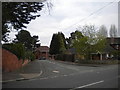
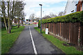
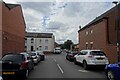
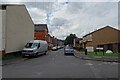
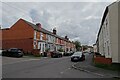
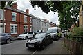
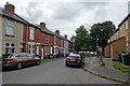
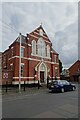
33 photos from this area
Area Information
Key information about the DE23 6AT including its size, population, and administrative classification.
- Area Type
- Postcode
- Area Size
- 9594 m²
- Population
- 2092
- Population Density
- 11616 people/km²
House Prices in DE23 6AT
31
Properties
£159,385
Average Sold Price
£32,000
Lowest Price
£300,000
Highest Price
Showing 31 properties
| Address | Type | Beds | Baths | Last Sale Price | Last Sale Date | |
|---|---|---|---|---|---|---|
| 42 Overdale Road, Derby, DE23 6AT | Detached | 4 | 2 | £300,000 | Mar 2022 | |
| 78 Overdale Road, Derby, DE23 6AT | Terraced | 3 | 1 | £173,000 | Feb 2021 | |
| 38 Overdale Road, Derby, DE23 6AT | Detached | 5 | 1 | £277,000 | Sep 2017 | |
| 22 Overdale Road, Derby, DE23 6AT | Semi-detached | 3 | 1 | £206,000 | Dec 2014 | |
| 20 Overdale Road, Derby, DE23 6AT | house | 4 | 1 | £165,000 | Jul 2014 | |
| 54 Overdale Road, Derby, DE23 6AT | house | - | - | £215,000 | Feb 2008 | |
| 28 Overdale Road, Derby, DE23 6AT | Semi-detached | 4 | 1 | £230,000 | Apr 2007 | |
| 24 Overdale Road, Derby, DE23 6AT | Detached | - | - | £186,000 | Dec 2004 | |
| 50 Overdale Road, Derby, DE23 6AT | Semi-detached | - | - | £85,000 | Jun 2004 | |
| 32 Overdale Road, Derby, DE23 6AT | Bungalow | - | - | £90,000 | Dec 2003 |
Page 1 of 4
Energy Efficiency in DE23 6AT
Amenities
Schools
| Rank | School | Type | Entry gender | Ages |
|---|
Explore more schools in this area
Go to Schools tabDemographics
Household Size
Family (3-5 people)
most common
Accommodation Type
Houses
most common
Tenure
73
majority
Ethnic Group
asian_total
most common
Religion
N/A
most common
Household Composition
N/A
most common
Age
47
median
Adults (30-64 years)
most common
Household Deprivation
N/A
with no deprivation
NS-SEC
23
in Lower managerial occupations
Explore more demographic insights in this area
Go to Demographics tabPlanning
Planning Constraints
- Flood RiskPremium
- Ramsar Wetland SitesPremium
- Area of Outstanding Natural BeautyPremium
- Protected Nature ReservePremium
- Protected WoodlandPremium