Area Overview for DE23 4AJ
Photos of DE23 4AJ
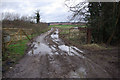
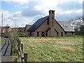
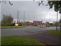
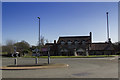
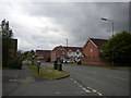
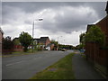
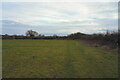
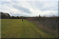
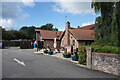
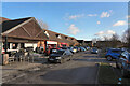
32 photos from this area
Area Information
Key information about the DE23 4AJ including its size, population, and administrative classification.
- Area Type
- Postcode
- Area Size
- 8426 m²
- Population
- 1790
- Population Density
- 2469 people/km²
House Prices in DE23 4AJ
18
Properties
£141,337
Average Sold Price
£57,000
Lowest Price
£255,000
Highest Price
Showing 18 properties
| Address | Type | Beds | Baths | Last Sale Price | Last Sale Date | |
|---|---|---|---|---|---|---|
| 115 Rykneld Road, Derby, DE23 4AJ | Detached | 3 | 1 | £255,000 | Oct 2022 | |
| 105 Rykneld Road, Derby, DE23 4AJ | house | - | - | £223,000 | Jun 2022 | |
| 99 Rykneld Road, Derby, DE23 4AJ | Semi-detached | 3 | - | £210,000 | Jan 2017 | |
| 119 Rykneld Road, Derby, DE23 4AJ | Detached | 3 | 1 | £133,000 | Sep 2013 | |
| 129 Rykneld Road, Derby, DE23 4AJ | house | 3 | - | £125,000 | Dec 2010 | |
| 121 Rykneld Road, Derby, DE23 4AJ | Detached | - | - | £158,000 | Dec 2009 | |
| 117 Rykneld Road, Derby, DE23 4AJ | Detached | - | - | £136,000 | Oct 2005 | |
| 101 Rykneld Road, Derby, DE23 4AJ | Semi-detached | - | - | £115,010 | Mar 2003 | |
| 125 Rykneld Road, Derby, DE23 4AJ | Detached | - | - | £66,700 | Mar 2001 | |
| 107 Rykneld Road, Derby, DE23 4AJ | Semi-detached | - | - | £57,000 | Jun 1999 |
Page 1 of 2
Energy Efficiency in DE23 4AJ
Amenities
Schools
| Rank | School | Type | Entry gender | Ages |
|---|
Explore more schools in this area
Go to Schools tabDemographics
Household Size
Family (3-5 people)
most common
Accommodation Type
Houses
most common
Tenure
56
majority
Ethnic Group
White
most common
Religion
N/A
most common
Household Composition
N/A
most common
Age
47
median
Adults (30-64 years)
most common
Household Deprivation
N/A
with no deprivation
NS-SEC
34
in Lower managerial occupations
Explore more demographic insights in this area
Go to Demographics tabPlanning
Planning Constraints
- Flood RiskPremium
- Ramsar Wetland SitesPremium
- Area of Outstanding Natural BeautyPremium
- Protected Nature ReservePremium
- Protected WoodlandPremium