Area Overview for DE23 1JF
Photos of DE23 1JF

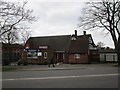
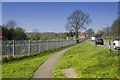
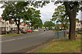
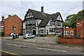
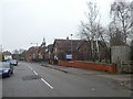

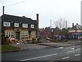
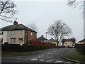
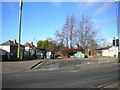
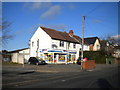
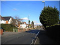
25 photos from this area
Area Information
Key information about the DE23 1JF including its size, population, and administrative classification.
- Area Type
- Postcode
- Area Size
- 1.1 hectares
- Population
- 2570
- Population Density
- 11587 people/km²
House Prices in DE23 1JF
19
Properties
£59,865
Average Sold Price
£14,960
Lowest Price
£105,000
Highest Price
Showing 19 properties
| Address | Type | Beds | Baths | Last Sale Price | Last Sale Date | |
|---|---|---|---|---|---|---|
| 65 Stenson Road, Derby, DE23 1JF | Semi-detached | - | - | £105,000 | May 2006 | |
| 61 Stenson Road, Derby, DE23 1JF | house | - | - | £60,000 | Nov 2005 | |
| 57 Stenson Road, Derby, DE23 1JF | Semi-detached | - | - | £14,960 | Dec 2001 | |
| 59 Stenson Road, Derby, DE23 1JF | Semi-detached | - | - | £59,500 | Sep 2001 | |
| Flat 2, 77 Stenson Road, Derby, DE23 1JF | Flat | - | - | - | - | |
| Flat 1, 77 Stenson Road, Derby, DE23 1JF | Flat | - | - | - | - | |
| Flat 4, 77 Stenson Road, Derby, DE23 1JF | Flat | - | - | - | - | |
| Flat 3, 77 Stenson Road, Derby, DE23 1JF | Flat | - | - | - | - | |
| 71 Stenson Road, Derby, DE23 1JF | Semi-detached | - | - | - | - | |
| 67 Stenson Road, Derby, DE23 1JF | house | - | - | - | - |
Page 1 of 2
Energy Efficiency in DE23 1JF
Amenities
Schools
| Rank | School | Type | Entry gender | Ages |
|---|
Explore more schools in this area
Go to Schools tabDemographics
Household Size
Family (3-5 people)
most common
Accommodation Type
Houses
most common
Tenure
41
majority
Ethnic Group
asian_total
most common
Religion
N/A
most common
Household Composition
N/A
most common
Age
22
median
Adults (30-64 years)
most common
Household Deprivation
N/A
with no deprivation
NS-SEC
12
in Lower managerial occupations
Explore more demographic insights in this area
Go to Demographics tabPlanning
Planning Constraints
- Flood RiskPremium
- Ramsar Wetland SitesPremium
- Area of Outstanding Natural BeautyPremium
- Protected Nature ReservePremium
- Protected WoodlandPremium