Area Overview for DE23 1DF
Photos of DE23 1DF
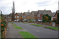
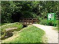
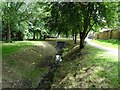
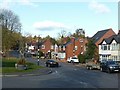
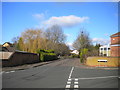
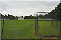
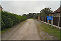
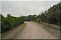
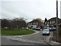
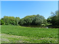
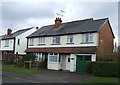
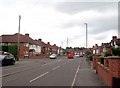
21 photos from this area
Area Information
Key information about the DE23 1DF including its size, population, and administrative classification.
- Area Type
- Postcode
- Area Size
- 4.6 hectares
- Population
- 1521
- Population Density
- 3935 people/km²
House Prices in DE23 1DF
25
Properties
£303,125
Average Sold Price
£72,000
Lowest Price
£600,000
Highest Price
Showing 25 properties
| Address | Type | Beds | Baths | Last Sale Price | Last Sale Date | |
|---|---|---|---|---|---|---|
| 67 Field Rise, Derby, DE23 1DF | Detached | 4 | 2 | £375,000 | Aug 2023 | |
| 89 Field Rise, Derby, DE23 1DF | house | - | - | £600,000 | Sep 2021 | |
| 63 Field Rise, Derby, DE23 1DF | house | - | - | £268,000 | Mar 2021 | |
| 69 Field Rise, Derby, DE23 1DF | house | - | - | £253,000 | Nov 2019 | |
| 99 Field Rise, Derby, DE23 1DF | house | 5 | - | £453,000 | Nov 2012 | |
| 73 Field Rise, Derby, DE23 1DF | house | - | - | £204,000 | Oct 2006 | |
| 53 Field Rise, Derby, DE23 1DF | Detached | - | - | £200,000 | Aug 2004 | |
| 61 Field Rise, Derby, DE23 1DF | house | - | - | £72,000 | Sep 1996 | |
| 59 Field Rise, Derby, DE23 1DF | house | 3 | 1 | - | - | |
| 77 Field Rise, Derby, DE23 1DF | Detached | - | - | - | - |
Page 1 of 3
Energy Efficiency in DE23 1DF
Amenities
Schools
| Rank | School | Type | Entry gender | Ages |
|---|
Explore more schools in this area
Go to Schools tabDemographics
Household Size
Two person
most common
Accommodation Type
Houses
most common
Tenure
83
majority
Ethnic Group
White
most common
Religion
N/A
most common
Household Composition
N/A
most common
Age
47
median
Adults (30-64 years)
most common
Household Deprivation
N/A
with no deprivation
NS-SEC
35
in Lower managerial occupations
Explore more demographic insights in this area
Go to Demographics tabPlanning
Planning Constraints
- Flood RiskPremium
- Ramsar Wetland SitesPremium
- Area of Outstanding Natural BeautyPremium
- Protected Nature ReservePremium
- Protected WoodlandPremium