Area Overview for DE22 5JY
Photos of DE22 5JY
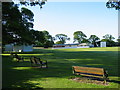
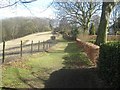
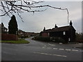
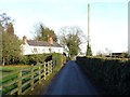
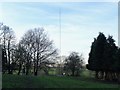
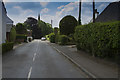
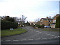
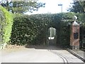
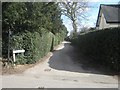
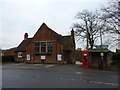
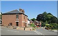
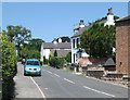
20 photos from this area
Area Information
Key information about the DE22 5JY including its size, population, and administrative classification.
- Area Type
- Postcode
- Area Size
- 80.5 hectares
- Population
- 2770
- Population Density
- 56 people/km²
House Prices in DE22 5JY
51
Properties
£653,598
Average Sold Price
£125,000
Lowest Price
£1,960,000
Highest Price
Showing 51 properties
| Address | Type | Beds | Baths | Last Sale Price | Last Sale Date | |
|---|---|---|---|---|---|---|
| Windrush, 9 The Common, Quarndon, Derby, DE22 5JY | house | 5 | 3 | £1,800,000 | Feb 2025 | |
| 76 The Common, Quarndon, Derby, DE22 5JY | Detached | 4 | 4 | £1,960,000 | Dec 2021 | |
| 2 The Common, Quarndon, Derby, DE22 5JY | house | - | - | £1,150,000 | Dec 2021 | |
| 4 The Common, Quarndon, Derby, DE22 5JY | Detached | 4 | 2 | £600,000 | Sep 2020 | |
| 5 The Common, Quarndon, Derby, DE22 5JY | house | - | - | £1,100,000 | Aug 2018 | |
| Rock House, 12 The Common, Quarndon, Derby, DE22 5JY | Detached | 4 | 2 | £1,354,000 | Sep 2016 | |
| 28A The Common, Quarndon, Derby, DE22 5JY | house | 2 | - | £260,000 | Jun 2015 | |
| 30 The Common, Quarndon, Derby, DE22 5JY | house | 4 | - | £750,000 | Jul 2014 | |
| The Hollies, 54 The Common, Quarndon, Derby, DE22 5JY | house | - | - | £450,000 | Sep 2013 | |
| 24 The Common, Quarndon, Derby, DE22 5JY | house | - | - | £650,000 | May 2012 |
Page 1 of 6
Energy Efficiency in DE22 5JY
Amenities
Schools
| Rank | School | Type | Entry gender | Ages |
|---|
Explore more schools in this area
Go to Schools tabDemographics
Household Size
Two person
most common
Accommodation Type
Houses
most common
Tenure
79
majority
Ethnic Group
White
most common
Religion
N/A
most common
Household Composition
N/A
most common
Age
47
median
Adults (30-64 years)
most common
Household Deprivation
N/A
with no deprivation
NS-SEC
49
in Lower managerial occupations
Explore more demographic insights in this area
Go to Demographics tabPlanning
Planning Constraints
- Flood RiskPremium
- Ramsar Wetland SitesPremium
- Area of Outstanding Natural BeautyPremium
- Protected Nature ReservePremium
- Protected WoodlandPremium