Area Overview for DE22 4NX
Photos of DE22 4NX
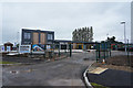
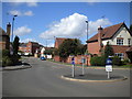
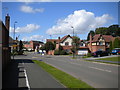
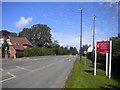
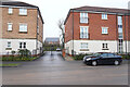
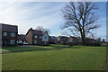
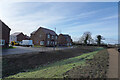
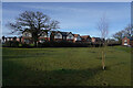
49 photos from this area
Area Information
Key information about the DE22 4NX including its size, population, and administrative classification.
- Area Type
- Postcode
- Area Size
- 3.0 hectares
- Population
- 1283
- Population Density
- 1351 people/km²
House Prices in DE22 4NX
57
Properties
£295,333
Average Sold Price
£170,000
Lowest Price
£475,000
Highest Price
Showing 57 properties
| Address | Type | Beds | Baths | Last Sale Price | Last Sale Date | |
|---|---|---|---|---|---|---|
| 67 Grange Road, Derby, DE22 4NX | Terraced | 3 | 2 | £245,000 | Jul 2025 | |
| 69 Grange Road, Derby, DE22 4NX | Semi-detached | 3 | 2 | £237,500 | Jun 2025 | |
| 57 Grange Road, Derby, DE22 4NX | Terraced | 4 | 2 | £220,000 | Mar 2025 | |
| 33 Grange Road, Derby, DE22 4NX | house | - | - | £360,000 | Mar 2025 | |
| 31A Grange Road, Derby, DE22 4NX | Semi-detached | 3 | 2 | £302,000 | Feb 2025 | |
| 35 Grange Road, Derby, DE22 4NX | house | - | - | £372,500 | Mar 2024 | |
| 6 Grange Road, Derby, DE22 4NX | house | - | - | £235,000 | Feb 2024 | |
| 4 Grange Road, Derby, DE22 4NX | house | - | - | £235,000 | Jan 2024 | |
| 53 Grange Road, Derby, DE22 4NX | Semi-detached | 2 | 1 | £197,600 | Jun 2023 | |
| 61 Grange Road, Derby, DE22 4NX | Semi-detached | 3 | 1 | £240,000 | May 2023 |
Page 1 of 6
Energy Efficiency in DE22 4NX
Amenities
Schools
| Rank | School | Type | Entry gender | Ages |
|---|
Explore more schools in this area
Go to Schools tabDemographics
Household Size
Family (3-5 people)
most common
Accommodation Type
Houses
most common
Tenure
79
majority
Ethnic Group
White
most common
Religion
N/A
most common
Household Composition
N/A
most common
Age
47
median
Adults (30-64 years)
most common
Household Deprivation
N/A
with no deprivation
NS-SEC
51
in Lower managerial occupations
Explore more demographic insights in this area
Go to Demographics tabPlanning
Planning Constraints
- Flood RiskPremium
- Ramsar Wetland SitesPremium
- Area of Outstanding Natural BeautyPremium
- Protected Nature ReservePremium
- Protected WoodlandPremium