Area Overview for DE22 4AF
Photos of DE22 4AF
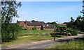
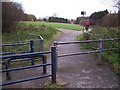
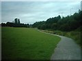
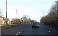
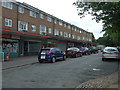
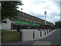
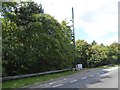
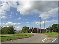
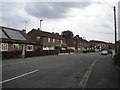
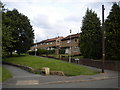
29 photos from this area
Area Information
Key information about the DE22 4AF including its size, population, and administrative classification.
- Area Type
- Postcode
- Area Size
- 1.9 hectares
- Population
- 2663
- Population Density
- 5142 people/km²
House Prices in DE22 4AF
35
Properties
£154,234
Average Sold Price
£42,000
Lowest Price
£300,000
Highest Price
Showing 35 properties
| Address | Type | Beds | Baths | Last Sale Price | Last Sale Date | |
|---|---|---|---|---|---|---|
| 89 Brackensdale Avenue, Derby, DE22 4AF | Detached | 3 | 1 | £182,500 | Jul 2025 | |
| 37 Brackensdale Avenue, Derby, DE22 4AF | Detached | 4 | 2 | £295,000 | Mar 2025 | |
| 41 Brackensdale Avenue, Derby, DE22 4AF | house | 3 | 1 | £300,000 | Nov 2023 | |
| 53 Brackensdale Avenue, Derby, DE22 4AF | Retail | 3 | 1 | £266,000 | Oct 2022 | |
| 85 Brackensdale Avenue, Derby, DE22 4AF | Detached | 3 | 1 | £234,500 | Sep 2021 | |
| 83 Brackensdale Avenue, Derby, DE22 4AF | house | - | - | £212,000 | Apr 2021 | |
| 91 Brackensdale Avenue, Derby, DE22 4AF | Semi-detached | 3 | 1 | £188,000 | Dec 2020 | |
| 47 Brackensdale Avenue, Derby, DE22 4AF | Detached | 3 | 1 | £260,000 | Nov 2020 | |
| 75 Brackensdale Avenue, Derby, DE22 4AF | Bungalow | - | - | £210,000 | Jul 2018 | |
| 43 Brackensdale Avenue, Derby, DE22 4AF | Detached | 3 | 1 | £225,000 | Jun 2018 |
Page 1 of 4
Energy Efficiency in DE22 4AF
Amenities
Schools
| Rank | School | Type | Entry gender | Ages |
|---|
Explore more schools in this area
Go to Schools tabDemographics
Household Size
Family (3-5 people)
most common
Accommodation Type
Houses
most common
Tenure
73
majority
Ethnic Group
White
most common
Religion
N/A
most common
Household Composition
N/A
most common
Age
47
median
Adults (30-64 years)
most common
Household Deprivation
N/A
with no deprivation
NS-SEC
32
in Lower managerial occupations
Explore more demographic insights in this area
Go to Demographics tabPlanning
Planning Constraints
- Flood RiskPremium
- Ramsar Wetland SitesPremium
- Area of Outstanding Natural BeautyPremium
- Protected Nature ReservePremium
- Protected WoodlandPremium