Area Overview for DE22 3ZB
Photos of DE22 3ZB
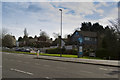
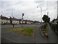
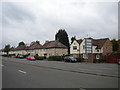
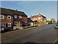
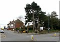
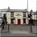
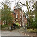
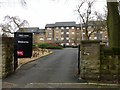
52 photos from this area
Area Information
Key information about the DE22 3ZB including its size, population, and administrative classification.
- Area Type
- Postcode
- Area Size
- 2.3 hectares
- Population
- 2365
- Population Density
- 2188 people/km²
House Prices in DE22 3ZB
65
Properties
£3,200,000
Average Sold Price
£3,200,000
Lowest Price
£3,200,000
Highest Price
Showing 65 properties
| Address | Type | Beds | Baths | Last Sale Price | Last Sale Date | |
|---|---|---|---|---|---|---|
| Kingsway View Care Home, Kingsway View, Bramble Drive, Derby, DE22 3ZB | hospital_care_home | - | - | £3,200,000 | Feb 2021 | |
| Apartment 20, Albany Lodge, Bramble Drive, Derby, DE22 3ZB | Flat | 2 | 2 | - | - | |
| Apartment 5, Albany Lodge, Bramble Drive, Derby, DE22 3ZB | Flat | - | - | - | - | |
| Apartment 16, Albany Lodge, Bramble Drive, Derby, DE22 3ZB | Flat | - | - | - | - | |
| Apartment 33, Albany Lodge, Bramble Drive, Derby, DE22 3ZB | Flat | - | - | - | - | |
| Apartment 45, Albany Lodge, Bramble Drive, Derby, DE22 3ZB | Flat | - | - | - | - | |
| Apartment 27, Albany Lodge, Bramble Drive, Derby, DE22 3ZB | Flat | - | - | - | - | |
| Apartment 65, Albany Lodge, Bramble Drive, Derby, DE22 3ZB | Flat | - | - | - | - | |
| Apartment 62, Albany Lodge, Bramble Drive, Derby, DE22 3ZB | Flat | - | - | - | - | |
| Apartment 61, Albany Lodge, Bramble Drive, Derby, DE22 3ZB | Flat | - | - | - | - |
Page 1 of 7
Energy Efficiency in DE22 3ZB
Amenities
Schools
| Rank | School | Type | Entry gender | Ages |
|---|
Explore more schools in this area
Go to Schools tabDemographics
Household Size
Two person
most common
Accommodation Type
Houses
most common
Tenure
59
majority
Ethnic Group
White
most common
Religion
N/A
most common
Household Composition
N/A
most common
Age
47
median
Adults (30-64 years)
most common
Household Deprivation
N/A
with no deprivation
NS-SEC
41
in Lower managerial occupations
Explore more demographic insights in this area
Go to Demographics tabPlanning
Planning Constraints
- Flood RiskPremium
- Ramsar Wetland SitesPremium
- Area of Outstanding Natural BeautyPremium
- Protected Nature ReservePremium
- Protected WoodlandPremium