Area Overview for DE22 3UU
Photos of DE22 3UU
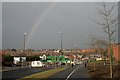
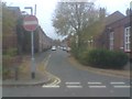
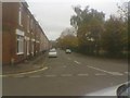
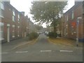
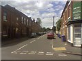
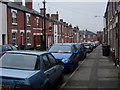
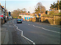
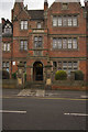
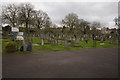
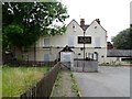
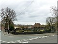
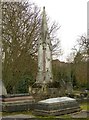
100 photos from this area
Area Information
Key information about the DE22 3UU including its size, population, and administrative classification.
- Area Type
- Postcode
- Area Size
- 1.4 hectares
- Population
- 1768
- Population Density
- 7249 people/km²
House Prices in DE22 3UU
37
Properties
£84,773
Average Sold Price
£17,000
Lowest Price
£215,000
Highest Price
Showing 37 properties
| Address | Type | Beds | Baths | Last Sale Price | Last Sale Date | |
|---|---|---|---|---|---|---|
| 56 Harrison Street, Derby, DE22 3UU | Semi-detached | 3 | 1 | £169,000 | Apr 2025 | |
| 73 Harrison Street, Derby, DE22 3UU | house | - | - | £140,000 | Jan 2023 | |
| 78 Harrison Street, Derby, DE22 3UU | house | 1 | 1 | £215,000 | Jan 2022 | |
| 76 Harrison Street, Derby, DE22 3UU | house | - | - | £122,000 | Aug 2021 | |
| 69 Harrison Street, Derby, DE22 3UU | Terraced | 1 | 1 | £81,000 | Feb 2020 | |
| 91 Harrison Street, Derby, DE22 3UU | Terraced | 3 | 1 | £122,000 | Oct 2019 | |
| 85 Harrison Street, Derby, DE22 3UU | Terraced | 2 | 1 | £75,500 | Mar 2017 | |
| 71 Harrison Street, Derby, DE22 3UU | Terraced | 1 | 1 | £79,950 | Dec 2016 | |
| 62 Harrison Street, Derby, DE22 3UU | Semi-detached | 2 | - | £91,500 | Dec 2013 | |
| 79 Harrison Street, Derby, DE22 3UU | house | 3 | - | £114,000 | Jul 2012 |
Page 1 of 4
Energy Efficiency in DE22 3UU
Amenities
Schools
| Rank | School | Type | Entry gender | Ages |
|---|
Explore more schools in this area
Go to Schools tabDemographics
Household Size
Two person
most common
Accommodation Type
Houses
most common
Tenure
39
majority
Ethnic Group
White
most common
Religion
N/A
most common
Household Composition
N/A
most common
Age
47
median
Adults (30-64 years)
most common
Household Deprivation
N/A
with no deprivation
NS-SEC
25
in Lower managerial occupations
Explore more demographic insights in this area
Go to Demographics tabPlanning
Planning Constraints
- Flood RiskPremium
- Ramsar Wetland SitesPremium
- Area of Outstanding Natural BeautyPremium
- Protected Nature ReservePremium
- Protected WoodlandPremium