Area Overview for DE22 2QL
Photos of DE22 2QL
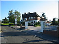
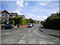
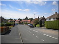
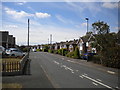
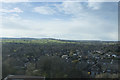
28 photos from this area
Area Information
Key information about the DE22 2QL including its size, population, and administrative classification.
- Area Type
- Postcode
- Area Size
- 7974 m²
- Population
- 1272
- Population Density
- 3599 people/km²
House Prices in DE22 2QL
12
Properties
£209,778
Average Sold Price
£67,000
Lowest Price
£310,000
Highest Price
Showing 12 properties
| Address | Type | Beds | Baths | Last Sale Price | Last Sale Date | |
|---|---|---|---|---|---|---|
| 80 Birchover Way, Derby, DE22 2QL | Bungalow | 2 | 1 | £245,000 | May 2025 | |
| 84 Birchover Way, Derby, DE22 2QL | Bungalow | - | - | £310,000 | May 2021 | |
| 74 Birchover Way, Derby, DE22 2QL | Bungalow | 2 | 1 | £208,000 | Feb 2021 | |
| 68 Birchover Way, Derby, DE22 2QL | Bungalow | 3 | - | £253,000 | Nov 2019 | |
| 66 Birchover Way, Derby, DE22 2QL | Bungalow | 3 | 1 | £233,000 | Oct 2019 | |
| 82 Birchover Way, Derby, DE22 2QL | Bungalow | 2 | - | £217,000 | Jun 2019 | |
| 76 Birchover Way, Derby, DE22 2QL | Bungalow | 2 | 1 | £165,000 | Apr 2019 | |
| 78 Birchover Way, Derby, DE22 2QL | Bungalow | - | - | £190,000 | Nov 2017 | |
| 68A Birchover Way, Derby, DE22 2QL | Detached | - | - | £67,000 | Jun 1998 | |
| 72 Birchover Way, Derby, DE22 2QL | house | - | - | - | - |
Page 1 of 2
Energy Efficiency in DE22 2QL
Amenities
Schools
| Rank | School | Type | Entry gender | Ages |
|---|
Explore more schools in this area
Go to Schools tabDemographics
Household Size
One person
most common
Accommodation Type
Houses
most common
Tenure
75
majority
Ethnic Group
White
most common
Religion
N/A
most common
Household Composition
N/A
most common
Age
47
median
Elderly (65+ years)
most common
Household Deprivation
N/A
with no deprivation
NS-SEC
37
in Lower managerial occupations
Explore more demographic insights in this area
Go to Demographics tabPlanning
Planning Constraints
- Flood RiskPremium
- Ramsar Wetland SitesPremium
- Area of Outstanding Natural BeautyPremium
- Protected Nature ReservePremium
- Protected WoodlandPremium