Area Overview for DE21 7RZ
Photos of DE21 7RZ

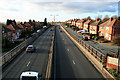

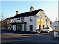
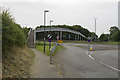
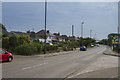
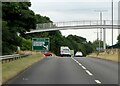

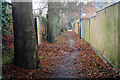
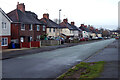
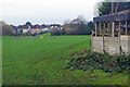
34 photos from this area
Area Information
Key information about the DE21 7RZ including its size, population, and administrative classification.
- Area Type
- Postcode
- Area Size
- 1.9 hectares
- Population
- 1581
- Population Density
- 4696 people/km²
House Prices in DE21 7RZ
37
Properties
£113,556
Average Sold Price
£36,000
Lowest Price
£220,000
Highest Price
Showing 37 properties
| Address | Type | Beds | Baths | Last Sale Price | Last Sale Date | |
|---|---|---|---|---|---|---|
| 47 The Covert, Derby, DE21 7RZ | Terraced | 2 | 1 | £185,000 | Sep 2025 | |
| 14 The Covert, Derby, DE21 7RZ | Terraced | 3 | 1 | £177,000 | Jul 2025 | |
| 28 The Covert, Derby, DE21 7RZ | Bungalow | 2 | 1 | £140,000 | Mar 2025 | |
| 35 The Covert, Derby, DE21 7RZ | Semi-detached | 3 | 1 | £220,000 | Mar 2024 | |
| 23 The Covert, Derby, DE21 7RZ | Flat | - | - | £85,000 | Feb 2024 | |
| 42 The Covert, Derby, DE21 7RZ | house | 3 | - | £172,500 | Jun 2023 | |
| 39 The Covert, Derby, DE21 7RZ | Retail | 3 | 1 | £210,000 | Jun 2022 | |
| 4 The Covert, Derby, DE21 7RZ | Flat | 2 | 1 | £108,000 | Mar 2021 | |
| 24 The Covert, Derby, DE21 7RZ | Terraced | 2 | 1 | £120,000 | Feb 2020 | |
| 34 The Covert, Derby, DE21 7RZ | Terraced | 1 | 1 | £159,950 | Nov 2019 |
Page 1 of 4
Energy Efficiency in DE21 7RZ
Amenities
Schools
| Rank | School | Type | Entry gender | Ages |
|---|
Explore more schools in this area
Go to Schools tabDemographics
Household Size
One person
most common
Accommodation Type
Houses
most common
Tenure
51
majority
Ethnic Group
White
most common
Religion
N/A
most common
Household Composition
N/A
most common
Age
47
median
Adults (30-64 years)
most common
Household Deprivation
N/A
with no deprivation
NS-SEC
21
in Lower managerial occupations
Explore more demographic insights in this area
Go to Demographics tabPlanning
Planning Constraints
- Flood RiskPremium
- Ramsar Wetland SitesPremium
- Area of Outstanding Natural BeautyPremium
- Protected Nature ReservePremium
- Protected WoodlandPremium