Area Overview for DE21 7PH
Photos of DE21 7PH
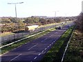
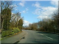
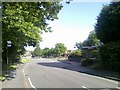
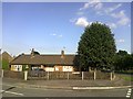
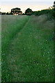
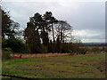
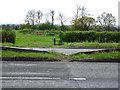
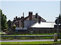
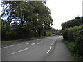
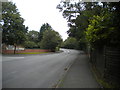
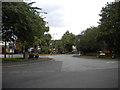
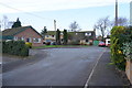
22 photos from this area
Area Information
Key information about the DE21 7PH including its size, population, and administrative classification.
- Area Type
- Postcode
- Area Size
- 21.1 hectares
- Population
- 1584
- Population Density
- 2708 people/km²
House Prices in DE21 7PH
36
Properties
£175,939
Average Sold Price
£62,000
Lowest Price
£350,000
Highest Price
Showing 36 properties
| Address | Type | Beds | Baths | Last Sale Price | Last Sale Date | |
|---|---|---|---|---|---|---|
| 339 Borrowash Road, Derby, DE21 7PH | house | - | - | £240,000 | Jan 2025 | |
| 351 Borrowash Road, Derby, DE21 7PH | house | - | - | £350,000 | Apr 2021 | |
| 360 Borrowash Road, Derby, DE21 7PH | Detached | 3 | 2 | £215,000 | Nov 2019 | |
| 361 Borrowash Road, Derby, DE21 7PH | Detached | 3 | - | £259,950 | Aug 2018 | |
| 365 Borrowash Road, Derby, DE21 7PH | Detached | 3 | - | £240,000 | Jul 2018 | |
| 352 Borrowash Road, Derby, DE21 7PH | house | - | - | £157,000 | Mar 2016 | |
| 341 Borrowash Road, Derby, DE21 7PH | Semi-detached | 3 | - | £142,500 | Sep 2014 | |
| 325 Borrowash Road, Derby, DE21 7PH | Semi-detached | 3 | - | £154,000 | Dec 2013 | |
| 356 Borrowash Road, Derby, DE21 7PH | house | 3 | - | £100,000 | Mar 2012 | |
| 315 Borrowash Road, Derby, DE21 7PH | house | 3 | - | £195,000 | Jan 2012 |
Page 1 of 4
Energy Efficiency in DE21 7PH
Amenities
Schools
| Rank | School | Type | Entry gender | Ages |
|---|
Explore more schools in this area
Go to Schools tabDemographics
Household Size
Family (3-5 people)
most common
Accommodation Type
Houses
most common
Tenure
65
majority
Ethnic Group
White
most common
Religion
N/A
most common
Household Composition
N/A
most common
Age
47
median
Adults (30-64 years)
most common
Household Deprivation
N/A
with no deprivation
NS-SEC
25
in Lower managerial occupations
Explore more demographic insights in this area
Go to Demographics tabPlanning
Planning Constraints
- Flood RiskPremium
- Ramsar Wetland SitesPremium
- Area of Outstanding Natural BeautyPremium
- Protected Nature ReservePremium
- Protected WoodlandPremium