Area Overview for DE21 4FX
Photos of DE21 4FX
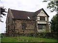
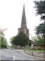
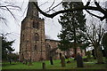
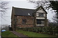
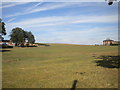
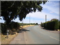
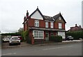
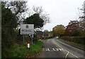
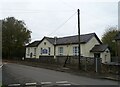
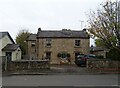
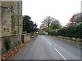
25 photos from this area
Area Information
Key information about the DE21 4FX including its size, population, and administrative classification.
- Area Type
- Postcode
- Area Size
- 3.0 hectares
- Population
- 1490
- Population Density
- 5757 people/km²
House Prices in DE21 4FX
38
Properties
£186,020
Average Sold Price
£50,000
Lowest Price
£272,000
Highest Price
Showing 38 properties
| Address | Type | Beds | Baths | Last Sale Price | Last Sale Date | |
|---|---|---|---|---|---|---|
| 13A Hill Top, Derby, DE21 4FX | Detached | 4 | 2 | £272,000 | May 2025 | |
| Melanda, 13 Hill Top, Derby, DE21 4FX | Semi-detached | 3 | 2 | £260,000 | Mar 2025 | |
| 43 Hill Top, Derby, DE21 4FX | Semi-detached | - | - | £100,000 | Feb 2025 | |
| 14 Hill Top, Derby, DE21 4FX | Semi-detached | 3 | - | £255,000 | Aug 2021 | |
| 20 Hill Top, Derby, DE21 4FX | Semi-detached | 3 | 1 | £215,000 | Jun 2021 | |
| 37 Hill Top, Derby, DE21 4FX | house | - | - | £188,000 | May 2021 | |
| 38 Hill Top, Derby, DE21 4FX | house | - | - | £220,000 | May 2021 | |
| 21 Hill Top, Derby, DE21 4FX | Semi-detached | 3 | - | £222,000 | Mar 2021 | |
| 19 Hill Top, Derby, DE21 4FX | Semi-detached | 4 | 1 | £232,500 | Jan 2019 | |
| 22 Hill Top, Derby, DE21 4FX | house | - | - | £150,000 | Aug 2018 |
Page 1 of 4
Energy Efficiency in DE21 4FX
Amenities
Schools
| Rank | School | Type | Entry gender | Ages |
|---|
Explore more schools in this area
Go to Schools tabDemographics
Household Size
Two person
most common
Accommodation Type
Houses
most common
Tenure
75
majority
Ethnic Group
White
most common
Religion
N/A
most common
Household Composition
N/A
most common
Age
47
median
Adults (30-64 years)
most common
Household Deprivation
N/A
with no deprivation
NS-SEC
36
in Lower managerial occupations
Explore more demographic insights in this area
Go to Demographics tabPlanning
Planning Constraints
- Flood RiskPremium
- Ramsar Wetland SitesPremium
- Area of Outstanding Natural BeautyPremium
- Protected Nature ReservePremium
- Protected WoodlandPremium