Area Overview for DE21 2BA
Photos of DE21 2BA
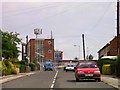
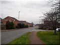
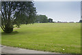
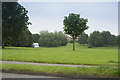
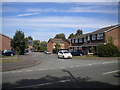
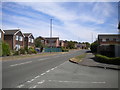
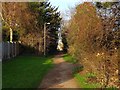
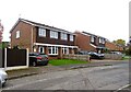
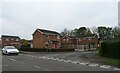
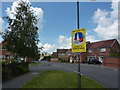
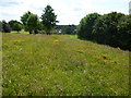
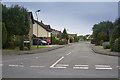
13 photos from this area
Area Information
Key information about the DE21 2BA including its size, population, and administrative classification.
- Area Type
- Postcode
- Area Size
- 1.1 hectares
- Population
- 1490
- Population Density
- 5757 people/km²
House Prices in DE21 2BA
27
Properties
£114,877
Average Sold Price
£43,250
Lowest Price
£215,000
Highest Price
Showing 27 properties
| Address | Type | Beds | Baths | Last Sale Price | Last Sale Date | |
|---|---|---|---|---|---|---|
| 44 Bishops Drive, Derby, DE21 2BA | Detached | 3 | 1 | £160,000 | Mar 2021 | |
| 10 Bishops Drive, Derby, DE21 2BA | Bungalow | 2 | 1 | £182,000 | Mar 2020 | |
| 49 Bishops Drive, Derby, DE21 2BA | house | 2 | - | £135,000 | Aug 2019 | |
| 81 Bishops Drive, Derby, DE21 2BA | Detached | 3 | 1 | £195,000 | Feb 2019 | |
| 21 Bishops Drive, Derby, DE21 2BA | house | - | - | £166,880 | Jan 2018 | |
| 45 Bishops Drive, Derby, DE21 2BA | house | 2 | - | £116,000 | Aug 2014 | |
| 25 Bishops Drive, Derby, DE21 2BA | Detached | 3 | 1 | £155,000 | Apr 2013 | |
| 51 Bishops Drive, Derby, DE21 2BA | house | 2 | - | £110,000 | Oct 2012 | |
| 79 Bishops Drive, Derby, DE21 2BA | Detached | - | - | £140,000 | Mar 2009 | |
| 75 Bishops Drive, Derby, DE21 2BA | Detached | 4 | 3 | £215,000 | Dec 2007 |
Page 1 of 3
Energy Efficiency in DE21 2BA
Amenities
Schools
| Rank | School | Type | Entry gender | Ages |
|---|
Explore more schools in this area
Go to Schools tabDemographics
Household Size
Two person
most common
Accommodation Type
Houses
most common
Tenure
75
majority
Ethnic Group
White
most common
Religion
N/A
most common
Household Composition
N/A
most common
Age
47
median
Adults (30-64 years)
most common
Household Deprivation
N/A
with no deprivation
NS-SEC
36
in Lower managerial occupations
Explore more demographic insights in this area
Go to Demographics tabPlanning
Planning Constraints
- Flood RiskPremium
- Ramsar Wetland SitesPremium
- Area of Outstanding Natural BeautyPremium
- Protected Nature ReservePremium
- Protected WoodlandPremium