Area Overview for DE15 9SQ
Photos of DE15 9SQ
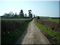
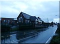
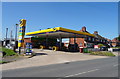
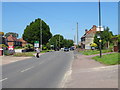
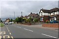
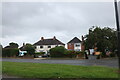
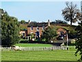

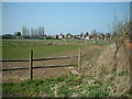
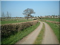
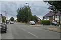
18 photos from this area
Area Information
Key information about the DE15 9SQ including its size, population, and administrative classification.
- Area Type
- Postcode
- Area Size
- 27.6 hectares
- Population
- 2340
- Population Density
- 129 people/km²
House Prices in DE15 9SQ
49
Properties
£123,935
Average Sold Price
£39,500
Lowest Price
£185,000
Highest Price
Showing 49 properties
| Address | Type | Beds | Baths | Last Sale Price | Last Sale Date | |
|---|---|---|---|---|---|---|
| 321 Stanton Road, Stapenhill, Burton Upon Trent, DE15 9SQ | Terraced | 2 | 1 | £100,000 | Feb 2024 | |
| 294 Stanton Road, Stapenhill, Burton Upon Trent, DE15 9SQ | Semi-detached | 3 | 1 | £185,000 | Mar 2023 | |
| 336 Stanton Road, Stapenhill, Burton Upon Trent, DE15 9SQ | Retail | 3 | 1 | £185,000 | Mar 2022 | |
| 302 Stanton Road, Stapenhill, Burton Upon Trent, DE15 9SQ | Semi-detached | 3 | - | £168,000 | Aug 2020 | |
| 320 Stanton Road, Stapenhill, Burton Upon Trent, DE15 9SQ | Terraced | 2 | 1 | £64,000 | Jan 2020 | |
| 324 Stanton Road, Stapenhill, Burton Upon Trent, DE15 9SQ | Semi-detached | 3 | 1 | £151,500 | Jun 2019 | |
| 322 Stanton Road, Stapenhill, Burton Upon Trent, DE15 9SQ | Terraced | 3 | 1 | £100,000 | Apr 2019 | |
| 291 Stanton Road, Stapenhill, Burton Upon Trent, DE15 9SQ | Semi-detached | 3 | 1 | £140,000 | Nov 2018 | |
| 303 Stanton Road, Stapenhill, Burton Upon Trent, DE15 9SQ | Semi-detached | 3 | 1 | £125,000 | Nov 2018 | |
| 329 Stanton Road, Stapenhill, Burton Upon Trent, DE15 9SQ | Semi-detached | 3 | - | £156,500 | Jul 2018 |
Page 1 of 5
Energy Efficiency in DE15 9SQ
Amenities
Schools
| Rank | School | Type | Entry gender | Ages |
|---|
Explore more schools in this area
Go to Schools tabDemographics
Household Size
Two person
most common
Accommodation Type
Houses
most common
Tenure
88
majority
Ethnic Group
White
most common
Religion
N/A
most common
Household Composition
N/A
most common
Age
47
median
Adults (30-64 years)
most common
Household Deprivation
N/A
with no deprivation
NS-SEC
41
in Lower managerial occupations
Explore more demographic insights in this area
Go to Demographics tabPlanning
Planning Constraints
- Flood RiskPremium
- Ramsar Wetland SitesPremium
- Area of Outstanding Natural BeautyPremium
- Protected Nature ReservePremium
- Protected WoodlandPremium