Area Overview for DE15 9SP
Photos of DE15 9SP
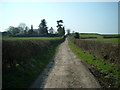
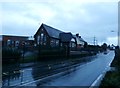
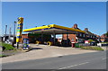
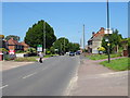
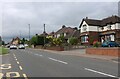
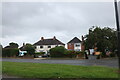
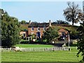

18 photos from this area
Area Information
Key information about the DE15 9SP including its size, population, and administrative classification.
- Area Type
- Postcode
- Area Size
- 7.9 hectares
- Population
- 1642
- Population Density
- 343 people/km²
House Prices in DE15 9SP
26
Properties
£122,492
Average Sold Price
£54,000
Lowest Price
£250,000
Highest Price
Showing 26 properties
| Address | Type | Beds | Baths | Last Sale Price | Last Sale Date | |
|---|---|---|---|---|---|---|
| 84 Manor Road, Stanton, DE15 9SP | house | - | - | £159,950 | Mar 2018 | |
| 80 Manor Road, Stanton, DE15 9SP | Bungalow | - | - | £250,000 | Aug 2017 | |
| 82 Manor Road, Stanton, DE15 9SP | Semi-detached | 2 | 2 | £134,000 | Apr 2017 | |
| 38 Manor Road, Stanton, DE15 9SP | house | - | - | £62,000 | Sep 2008 | |
| 52 Manor Road, Stanton, DE15 9SP | Semi-detached | - | - | £75,000 | Sep 2002 | |
| 54 Manor Road, Stanton, DE15 9SP | Semi-detached | - | - | £54,000 | Sep 2000 | |
| 44 Manor Road, Stanton, DE15 9SP | Semi-detached | 3 | 1 | - | - | |
| 60A Manor Road, Stanton, DE15 9SP | Detached | 3 | 2 | - | - | |
| 60 Manor Road, Stanton, DE15 9SP | house | - | - | - | - | |
| 42 Manor Road, Stanton, DE15 9SP | house | - | - | - | - |
Page 1 of 3
Energy Efficiency in DE15 9SP
Amenities
Schools
| Rank | School | Type | Entry gender | Ages |
|---|
Explore more schools in this area
Go to Schools tabDemographics
Household Size
Two person
most common
Accommodation Type
Houses
most common
Tenure
76
majority
Ethnic Group
White
most common
Religion
N/A
most common
Household Composition
N/A
most common
Age
47
median
Adults (30-64 years)
most common
Household Deprivation
N/A
with no deprivation
NS-SEC
22
in Lower managerial occupations
Explore more demographic insights in this area
Go to Demographics tabPlanning
Planning Constraints
- Flood RiskPremium
- Ramsar Wetland SitesPremium
- Area of Outstanding Natural BeautyPremium
- Protected Nature ReservePremium
- Protected WoodlandPremium