Area Overview for DE15 0PT
Photos of DE15 0PT
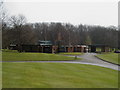
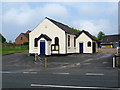
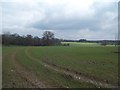
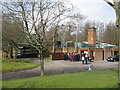
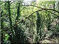
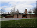
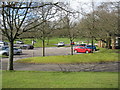
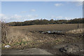
8 photos from this area
Area Information
Key information about the DE15 0PT including its size, population, and administrative classification.
- Area Type
- Postcode
- Area Size
- 48.2 hectares
- Population
- 1726
- Population Density
- 106 people/km²
House Prices in DE15 0PT
38
Properties
£344,658
Average Sold Price
£85,000
Lowest Price
£1,100,000
Highest Price
Showing 38 properties
| Address | Type | Beds | Baths | Last Sale Price | Last Sale Date | |
|---|---|---|---|---|---|---|
| 12 Ashby Road East, Bretby, DE15 0PT | Detached | 4 | 1 | £475,000 | Jul 2025 | |
| 92 Ashby Road East, Bretby, DE15 0PT | Detached | 3 | 2 | £512,500 | Sep 2024 | |
| 20 Ashby Road East, Bretby, DE15 0PT | house | - | - | £480,000 | Aug 2022 | |
| 2 Ashby Road East, Bretby, DE15 0PT | house | - | - | £1,100,000 | Sep 2021 | |
| 8 Ashby Road East, Bretby, DE15 0PT | Detached | 4 | 3 | £555,000 | May 2021 | |
| 62 Ashby Road East, Bretby, DE15 0PT | house | - | - | £315,000 | Mar 2019 | |
| 60 Ashby Road East, Bretby, DE15 0PT | house | - | - | £295,000 | Jun 2018 | |
| 88 Ashby Road East, Bretby, DE15 0PT | Detached | 3 | 2 | £215,000 | Sep 2015 | |
| 58 Ashby Road East, Bretby, DE15 0PT | Semi-detached | 4 | 3 | £160,000 | Jul 2015 | |
| 66 Ashby Road East, Bretby, DE15 0PT | Detached | 5 | - | £725,000 | Oct 2014 |
Page 1 of 4
Energy Efficiency in DE15 0PT
Amenities
Schools
| Rank | School | Type | Entry gender | Ages |
|---|
Explore more schools in this area
Go to Schools tabDemographics
Household Size
Two person
most common
Accommodation Type
Houses
most common
Tenure
87
majority
Ethnic Group
White
most common
Religion
N/A
most common
Household Composition
N/A
most common
Age
47
median
Adults (30-64 years)
most common
Household Deprivation
N/A
with no deprivation
NS-SEC
47
in Lower managerial occupations
Explore more demographic insights in this area
Go to Demographics tabPlanning
Planning Constraints
- Flood RiskPremium
- Ramsar Wetland SitesPremium
- Area of Outstanding Natural BeautyPremium
- Protected Nature ReservePremium
- Protected WoodlandPremium