Area Overview for DE12 7QT
Photos of DE12 7QT
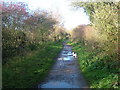


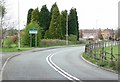

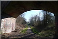
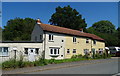
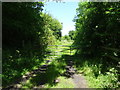
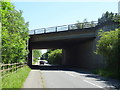
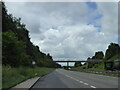
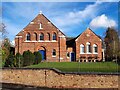
21 photos from this area
Area Information
Key information about the DE12 7QT including its size, population, and administrative classification.
- Area Type
- Postcode
- Area Size
- 11.9 hectares
- Population
- 1522
- Population Density
- 336 people/km²
House Prices in DE12 7QT
48
Properties
£335,104
Average Sold Price
£32,500
Lowest Price
£1,800,000
Highest Price
Showing 48 properties
| Address | Type | Beds | Baths | Last Sale Price | Last Sale Date | |
|---|---|---|---|---|---|---|
| 29 Chapel Street, Oakthorpe, DE12 7QT | Detached | 3 | 1 | £238,600 | Aug 2025 | |
| Prospect House, 12 Chapel Street, Oakthorpe, DE12 7QT | Detached | 5 | 2 | £585,000 | Dec 2024 | |
| 25 Chapel Street, Oakthorpe, DE12 7QT | Semi-detached | 3 | 1 | £225,000 | Jul 2023 | |
| The Old Shoulder Of Mutton, 6 Chapel Street, Oakthorpe, DE12 7QT | Detached | 4 | 2 | £495,000 | May 2023 | |
| Poppy House, Chapel Street, Oakthorpe, DE12 7QT | house | - | - | £335,000 | Nov 2022 | |
| 41 Chapel Street, Oakthorpe, DE12 7QT | Detached | 4 | 3 | £635,000 | Aug 2022 | |
| 20 Chapel Street, Oakthorpe, DE12 7QT | Flat | - | - | £1,800,000 | Mar 2022 | |
| The Old Orchard, 10A Chapel Street, Oakthorpe, DE12 7QT | house | - | - | £475,000 | Nov 2021 | |
| 1 Chapel Street, Oakthorpe, DE12 7QT | Detached | 4 | 2 | £243,500 | Mar 2021 | |
| 6B Chapel Street, Oakthorpe, DE12 7QT | Detached | 4 | 4 | £380,000 | Mar 2021 |
Page 1 of 5
Energy Efficiency in DE12 7QT
Amenities
Schools
| Rank | School | Type | Entry gender | Ages |
|---|
Explore more schools in this area
Go to Schools tabDemographics
Household Size
Two person
most common
Accommodation Type
Houses
most common
Tenure
78
majority
Ethnic Group
White
most common
Religion
N/A
most common
Household Composition
N/A
most common
Age
47
median
Adults (30-64 years)
most common
Household Deprivation
N/A
with no deprivation
NS-SEC
38
in Lower managerial occupations
Explore more demographic insights in this area
Go to Demographics tabPlanning
Planning Constraints
- Flood RiskPremium
- Ramsar Wetland SitesPremium
- Area of Outstanding Natural BeautyPremium
- Protected Nature ReservePremium
- Protected WoodlandPremium