Area Overview for DE12 6JJ
Photos of DE12 6JJ
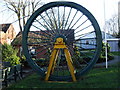
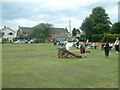
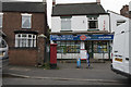
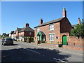
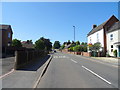
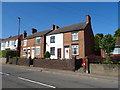
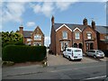
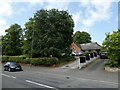
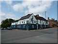
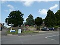
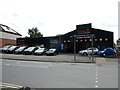
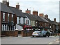
45 photos from this area
Area Information
Key information about the DE12 6JJ including its size, population, and administrative classification.
- Area Type
- Postcode
- Area Size
- 16.4 hectares
- Population
- 1642
- Population Density
- 87 people/km²
House Prices in DE12 6JJ
51
Properties
£141,550
Average Sold Price
£30,500
Lowest Price
£282,500
Highest Price
Showing 51 properties
| Address | Type | Beds | Baths | Last Sale Price | Last Sale Date | |
|---|---|---|---|---|---|---|
| 96 Burton Road, Overseal, Swadlincote, DE12 6JJ | Terraced | 3 | - | £135,000 | May 2025 | |
| 59 Burton Road, Overseal, Swadlincote, DE12 6JJ | house | - | - | £282,500 | May 2024 | |
| 61 Burton Road, Overseal, Swadlincote, DE12 6JJ | Bungalow | - | - | £217,500 | Mar 2023 | |
| 34 Burton Road, Overseal, Swadlincote, DE12 6JJ | house | - | - | £104,000 | Feb 2019 | |
| 44 Burton Road, Overseal, Swadlincote, DE12 6JJ | Terraced | 2 | 1 | £82,000 | Dec 2015 | |
| 119 Burton Road, Overseal, Swadlincote, DE12 6JJ | Bungalow | - | - | £207,000 | Jan 2011 | |
| 57 Burton Road, Overseal, Swadlincote, DE12 6JJ | Detached | - | - | £250,000 | Jun 2008 | |
| 45 Burton Road, Overseal, Swadlincote, DE12 6JJ | house | - | - | £222,750 | May 2006 | |
| 30 Burton Road, Overseal, Swadlincote, DE12 6JJ | house | 3 | - | £104,000 | Apr 2006 | |
| 74 Burton Road, Overseal, Swadlincote, DE12 6JJ | Terraced | 3 | 2 | £150,000 | Mar 2006 |
Page 1 of 6
Energy Efficiency in DE12 6JJ
Amenities
Schools
| Rank | School | Type | Entry gender | Ages |
|---|
Explore more schools in this area
Go to Schools tabDemographics
Household Size
Two person
most common
Accommodation Type
Houses
most common
Tenure
67
majority
Ethnic Group
White
most common
Religion
N/A
most common
Household Composition
N/A
most common
Age
47
median
Adults (30-64 years)
most common
Household Deprivation
N/A
with no deprivation
NS-SEC
30
in Lower managerial occupations
Explore more demographic insights in this area
Go to Demographics tabPlanning
Planning Constraints
- Flood RiskPremium
- Ramsar Wetland SitesPremium
- Area of Outstanding Natural BeautyPremium
- Protected Nature ReservePremium
- Protected WoodlandPremium