Area Overview for DE1 3RF
Photos of DE1 3RF
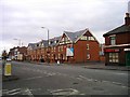
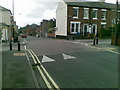
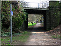
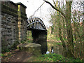
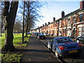
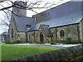
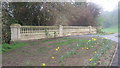
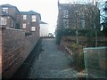
92 photos from this area
Area Information
Key information about the DE1 3RF including its size, population, and administrative classification.
- Area Type
- Postcode
- Area Size
- 9014 m²
- Population
- 1901
- Population Density
- 2077 people/km²
House Prices in DE1 3RF
11
Properties
£159,083
Average Sold Price
£95,500
Lowest Price
£220,000
Highest Price
Showing 11 properties
| Address | Type | Beds | Baths | Last Sale Price | Last Sale Date | |
|---|---|---|---|---|---|---|
| 183 Mansfield Road, Derby, DE1 3RF | house | 2 | 3 | £185,000 | Mar 2024 | |
| 181 Mansfield Road, Derby, DE1 3RF | Terraced | 2 | 2 | £185,000 | Sep 2023 | |
| 177 Mansfield Road, Derby, DE1 3RF | house | - | - | £220,000 | Aug 2021 | |
| 171 Mansfield Road, Derby, DE1 3RF | Terraced | 2 | - | £127,000 | Jun 2018 | |
| 169 Mansfield Road, Derby, DE1 3RF | house | 3 | 1 | £95,500 | Jun 2014 | |
| 175 Mansfield Road, Derby, DE1 3RF | Terraced | 3 | - | £142,000 | Jul 2013 | |
| Ground Floor Flat, 173 Mansfield Road, Derby, DE1 3RF | Flat | - | - | - | - | |
| The Coach And Horses, Coach And Horses, Mansfield Road, Derby, DE1 3RF | restaurant_cafe | - | - | - | - | |
| 179 Mansfield Road, Derby, DE1 3RF | house | 2 | 2 | - | - | |
| Flat, Coach And Horses, Mansfield Road, Derby, DE1 3RF | Flat | - | - | - | - |
Page 1 of 2
Energy Efficiency in DE1 3RF
Amenities
Schools
| Rank | School | Type | Entry gender | Ages |
|---|
Explore more schools in this area
Go to Schools tabDemographics
Household Size
One person
most common
Accommodation Type
Houses
most common
Tenure
50
majority
Ethnic Group
White
most common
Religion
N/A
most common
Household Composition
N/A
most common
Age
47
median
Adults (30-64 years)
most common
Household Deprivation
N/A
with no deprivation
NS-SEC
39
in Lower managerial occupations
Explore more demographic insights in this area
Go to Demographics tabPlanning
Planning Constraints
- Flood RiskPremium
- Ramsar Wetland SitesPremium
- Area of Outstanding Natural BeautyPremium
- Protected Nature ReservePremium
- Protected WoodlandPremium