Area Overview for DE1 3QZ
Photos of DE1 3QZ
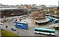
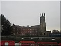
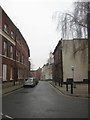
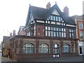
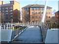
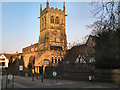
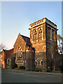
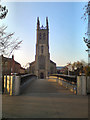
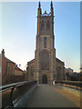
100 photos from this area
Area Information
Key information about the DE1 3QZ including its size, population, and administrative classification.
- Area Type
- Postcode
- Area Size
- 7251 m²
- Population
- 1802
- Population Density
- 4148 people/km²
House Prices in DE1 3QZ
20
Properties
£104,986
Average Sold Price
£21,750
Lowest Price
£300,000
Highest Price
Showing 20 properties
| Address | Type | Beds | Baths | Last Sale Price | Last Sale Date | |
|---|---|---|---|---|---|---|
| 83A Mansfield Road, Derby, DE1 3QZ | Semi-detached | 2 | 1 | £159,000 | Dec 2025 | |
| Flat, Duke Of Clarence, 87 Mansfield Road, Derby, DE1 3QZ | Flat | - | - | £300,000 | Nov 2020 | |
| 79 Mansfield Road, Derby, DE1 3QZ | Terraced | 2 | 1 | £108,640 | Feb 2005 | |
| 81 Mansfield Road, Derby, DE1 3QZ | Terraced | 3 | - | £78,000 | Dec 2002 | |
| 83 Mansfield Road, Derby, DE1 3QZ | Semi-detached | - | - | £78,000 | Nov 2002 | |
| 65 Mansfield Road, Derby, DE1 3QZ | Terraced | - | - | £47,500 | May 2000 | |
| 73 Mansfield Road, Derby, DE1 3QZ | Terraced | 2 | - | £47,000 | Sep 1999 | |
| 97 Mansfield Road, Derby, DE1 3QZ | Flat | - | - | £21,750 | Aug 1998 | |
| 103 Mansfield Road, Derby, DE1 3QZ | Flat | - | - | - | - | |
| 61 Mansfield Road, Derby, DE1 3QZ | house | - | - | - | - |
Page 1 of 2
Energy Efficiency in DE1 3QZ
Amenities
Schools
| Rank | School | Type | Entry gender | Ages |
|---|
Explore more schools in this area
Go to Schools tabDemographics
Household Size
One person
most common
Accommodation Type
Flats
most common
Tenure
22
majority
Ethnic Group
White
most common
Religion
N/A
most common
Household Composition
N/A
most common
Age
47
median
Adults (30-64 years)
most common
Household Deprivation
N/A
with no deprivation
NS-SEC
26
in Lower managerial occupations
Explore more demographic insights in this area
Go to Demographics tabPlanning
Planning Constraints
- Flood RiskPremium
- Ramsar Wetland SitesPremium
- Area of Outstanding Natural BeautyPremium
- Protected Nature ReservePremium
- Protected WoodlandPremium