Area Overview for DE1 3AY
Photos of DE1 3AY
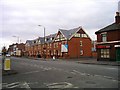
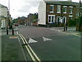
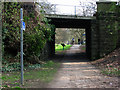
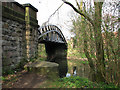
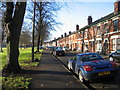
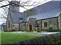
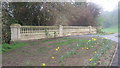
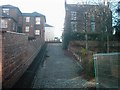
92 photos from this area
Area Information
Key information about the DE1 3AY including its size, population, and administrative classification.
- Area Type
- Postcode
- Area Size
- 1.8 hectares
- Population
- 1901
- Population Density
- 2077 people/km²
House Prices in DE1 3AY
87
Properties
£247,392
Average Sold Price
£105,950
Lowest Price
£490,000
Highest Price
Showing 87 properties
| Address | Type | Beds | Baths | Last Sale Price | Last Sale Date | |
|---|---|---|---|---|---|---|
| 15 North Parade, Derby, DE1 3AY | Detached | - | - | £300,000 | Jun 2025 | |
| 20 North Parade, Derby, DE1 3AY | Detached | 4 | 2 | £490,000 | Aug 2022 | |
| Dwelling, 17 North Parade, Derby, DE1 3AY | Flat | - | - | £389,950 | Feb 2022 | |
| 17 North Parade, Derby, DE1 3AY | Detached | - | - | £389,950 | Feb 2022 | |
| 1 North Parade, Derby, DE1 3AY | Terraced | 3 | - | £272,500 | May 2021 | |
| 4 North Parade, Derby, DE1 3AY | Semi-detached | 4 | 1 | £407,000 | Feb 2020 | |
| 35 North Parade, Derby, DE1 3AY | Terraced | 3 | 1 | £267,500 | Dec 2017 | |
| 32 North Parade, Derby, DE1 3AY | house | - | - | £125,000 | Jun 2010 | |
| 37 North Parade, Derby, DE1 3AY | Terraced | 4 | 2 | £235,000 | Jul 2008 | |
| 16 North Parade, Derby, DE1 3AY | Terraced | - | - | £335,000 | Apr 2008 |
Page 1 of 9
Energy Efficiency in DE1 3AY
Amenities
Schools
| Rank | School | Type | Entry gender | Ages |
|---|
Explore more schools in this area
Go to Schools tabDemographics
Household Size
One person
most common
Accommodation Type
Houses
most common
Tenure
50
majority
Ethnic Group
White
most common
Religion
N/A
most common
Household Composition
N/A
most common
Age
47
median
Adults (30-64 years)
most common
Household Deprivation
N/A
with no deprivation
NS-SEC
39
in Lower managerial occupations
Explore more demographic insights in this area
Go to Demographics tabPlanning
Planning Constraints
- Flood RiskPremium
- Ramsar Wetland SitesPremium
- Area of Outstanding Natural BeautyPremium
- Protected Nature ReservePremium
- Protected WoodlandPremium