Area Overview for DE1 2HH
Photos of DE1 2HH
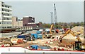
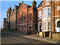
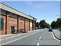
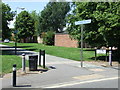
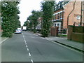

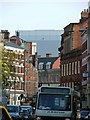
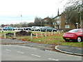

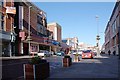

100 photos from this area
Area Information
Key information about the DE1 2HH including its size, population, and administrative classification.
- Area Type
- Postcode
- Area Size
- 8320 m²
- Population
- 2188
- Population Density
- 6422 people/km²
House Prices in DE1 2HH
44
Properties
£72,556
Average Sold Price
£40,000
Lowest Price
£102,000
Highest Price
Showing 44 properties
| Address | Type | Beds | Baths | Last Sale Price | Last Sale Date | |
|---|---|---|---|---|---|---|
| 36 Mount Street, Derby, DE1 2HH | Terraced | 2 | 1 | £102,000 | Mar 2024 | |
| 22 Mount Street, Derby, DE1 2HH | Terraced | 3 | - | £75,000 | Jan 2018 | |
| 34 Mount Street, Derby, DE1 2HH | Terraced | 2 | 1 | £67,500 | Sep 2017 | |
| 28 Mount Street, Derby, DE1 2HH | Terraced | 2 | 2 | £69,500 | Feb 2011 | |
| 20 Mount Street, Derby, DE1 2HH | Terraced | 1 | 2 | £97,000 | Oct 2006 | |
| 38 Mount Street, Derby, DE1 2HH | house | - | - | £68,000 | May 2006 | |
| 24 Mount Street, Derby, DE1 2HH | Terraced | - | - | £83,000 | Mar 2004 | |
| 32 Mount Street, Derby, DE1 2HH | Terraced | 2 | 1 | £40,000 | May 2003 | |
| 26 Mount Street, Derby, DE1 2HH | house | - | - | £51,000 | Feb 2003 | |
| Centenary House, Mount Street, Derby, DE1 2HH | Detached | 10 | - | - | - |
Page 1 of 5
Energy Efficiency in DE1 2HH
Amenities
Schools
| Rank | School | Type | Entry gender | Ages |
|---|
Explore more schools in this area
Go to Schools tabDemographics
Household Size
One person
most common
Accommodation Type
Flats
most common
Tenure
15
majority
Ethnic Group
White
most common
Religion
N/A
most common
Household Composition
N/A
most common
Age
47
median
Adults (30-64 years)
most common
Household Deprivation
N/A
with no deprivation
NS-SEC
15
in Lower managerial occupations
Explore more demographic insights in this area
Go to Demographics tabPlanning
Planning Constraints
- Flood RiskPremium
- Ramsar Wetland SitesPremium
- Area of Outstanding Natural BeautyPremium
- Protected Nature ReservePremium
- Protected WoodlandPremium