Area Overview for DE1 1RZ
Photos of DE1 1RZ
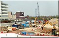
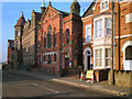
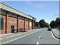
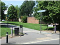
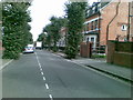
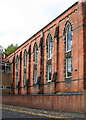
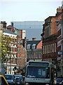
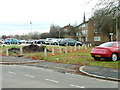
100 photos from this area
Area Information
Key information about the DE1 1RZ including its size, population, and administrative classification.
- Area Type
- Postcode
- Area Size
- 6897 m²
- Population
- Not available
- Population Density
- Not available
House Prices in DE1 1RZ
27
Properties
£123,917
Average Sold Price
£63,250
Lowest Price
£192,500
Highest Price
Showing 27 properties
| Address | Type | Beds | Baths | Last Sale Price | Last Sale Date | |
|---|---|---|---|---|---|---|
| 133 Green Lane, Derby, DE1 1RZ | house | - | - | £192,500 | May 2022 | |
| 135 Green Lane, Derby, DE1 1RZ | Terraced | 6 | 4 | £116,000 | Oct 2010 | |
| 131 Green Lane, Derby, DE1 1RZ | Terraced | 1 | 2 | £63,250 | Apr 1998 | |
| Flat 2 First Floor, 133 Green Lane, Derby, DE1 1RZ | Flat | - | - | - | - | |
| Flat 1 Rear Of, 133 Green Lane, Derby, DE1 1RZ | Flat | - | - | - | - | |
| Pay Academy Ltd, Office 6, 121 Green Lane, Derby, DE1 1RZ | Office | - | - | - | - | |
| First And Second Floor, 127-129 Green Lane, Derby, DE1 1RZ | Flat | - | - | - | - | |
| Ground Floor, 127-129 Green Lane, Derby, DE1 1RZ | house | - | - | - | - | |
| Apartment 1, Green Hill Villas, 119 Green Lane, Derby, DE1 1RZ | Flat | - | - | - | - | |
| Apartment 4, Green Hill Villas, 119 Green Lane, Derby, DE1 1RZ | Flat | - | - | - | - |
Page 1 of 3
Energy Efficiency in DE1 1RZ
Amenities
Schools
| Rank | School | Type | Entry gender | Ages |
|---|
Explore more schools in this area
Go to Schools tabDemographics
Household Size
One person
most common
Accommodation Type
Flats
most common
Tenure
7
majority
Ethnic Group
White
most common
Religion
N/A
most common
Household Composition
N/A
most common
Age
22
median
Young Adults (15-29 years)
most common
Household Deprivation
N/A
with no deprivation
NS-SEC
20
in Lower managerial occupations
Explore more demographic insights in this area
Go to Demographics tabPlanning
Planning Constraints
- Flood RiskPremium
- Ramsar Wetland SitesPremium
- Area of Outstanding Natural BeautyPremium
- Protected Nature ReservePremium
- Protected WoodlandPremium