Area Overview for DE1 1PE
Photos of DE1 1PE
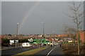
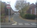
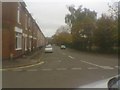
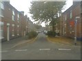
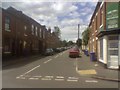
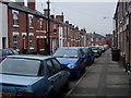
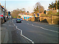
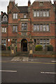
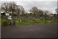
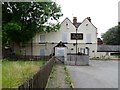
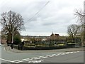
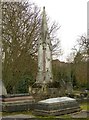
100 photos from this area
Area Information
Key information about the DE1 1PE including its size, population, and administrative classification.
- Area Type
- Postcode
- Area Size
- 1922 m²
- Population
- 2188
- Population Density
- 6422 people/km²
House Prices in DE1 1PE
8
Properties
£94,175
Average Sold Price
£38,950
Lowest Price
£160,000
Highest Price
Showing 8 properties
| Address | Type | Beds | Baths | Last Sale Price | Last Sale Date | |
|---|---|---|---|---|---|---|
| 151 Gerard Street, Derby, DE1 1PE | Terraced | 3 | 1 | £160,000 | Dec 2022 | |
| 147 Gerard Street, Derby, DE1 1PE | house | - | - | £138,000 | Sep 2021 | |
| 153 Gerard Street, Derby, DE1 1PE | Terraced | 3 | 1 | £38,950 | Nov 2000 | |
| 141 Gerard Street, Derby, DE1 1PE | house | - | - | £39,750 | Apr 1999 | |
| 139 Gerard Street, Derby, DE1 1PE | house | - | - | - | - | |
| 143 Gerard Street, Derby, DE1 1PE | Terraced | - | - | - | - | |
| 145 Gerard Street, Derby, DE1 1PE | Terraced | - | - | - | - | |
| 149 Gerard Street, Derby, DE1 1PE | house | - | - | - | - |
Energy Efficiency in DE1 1PE
Amenities
Schools
| Rank | School | Type | Entry gender | Ages |
|---|
Explore more schools in this area
Go to Schools tabDemographics
Household Size
One person
most common
Accommodation Type
Flats
most common
Tenure
15
majority
Ethnic Group
White
most common
Religion
N/A
most common
Household Composition
N/A
most common
Age
47
median
Adults (30-64 years)
most common
Household Deprivation
N/A
with no deprivation
NS-SEC
15
in Lower managerial occupations
Explore more demographic insights in this area
Go to Demographics tabPlanning
Planning Constraints
- Flood RiskPremium
- Ramsar Wetland SitesPremium
- Area of Outstanding Natural BeautyPremium
- Protected Nature ReservePremium
- Protected WoodlandPremium