Area Overview for DE1 1LF
Photos of DE1 1LF
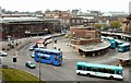
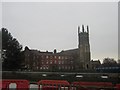
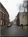
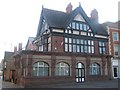
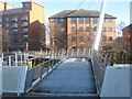
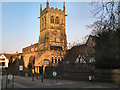
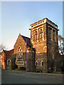
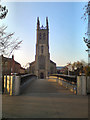
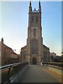
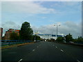
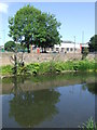
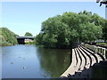
100 photos from this area
Area Information
Key information about the DE1 1LF including its size, population, and administrative classification.
- Area Type
- Postcode
- Area Size
- 5857 m²
- Population
- 1604
- Population Density
- 7351 people/km²
House Prices in DE1 1LF
21
Properties
£278,269
Average Sold Price
£97,500
Lowest Price
£1,310,000
Highest Price
Showing 21 properties
| Address | Type | Beds | Baths | Last Sale Price | Last Sale Date | |
|---|---|---|---|---|---|---|
| 73 Macklin Street, Derby, DE1 1LF | Flat | 1 | 1 | £150,000 | Jun 2024 | |
| 79 Macklin Street, Derby, DE1 1LF | house | 1 | 1 | £143,000 | Feb 2024 | |
| 81 Macklin Street, Derby, DE1 1LF | Terraced | 4 | 1 | £115,154 | May 2023 | |
| Rear Of, 80 Macklin Street, Derby, DE1 1LF | Flat | - | - | £1,310,000 | Mar 2022 | |
| 65 Macklin Street, Derby, DE1 1LF | Terraced | 1 | 1 | £148,000 | Jun 2008 | |
| 85A Macklin Street, Derby, DE1 1LF | Terraced | 4 | - | £162,500 | Jun 2008 | |
| 75 Macklin Street, Derby, DE1 1LF | house | - | - | £100,000 | Apr 2007 | |
| 83 Macklin Street, Derby, DE1 1LF | Terraced | 5 | 2 | £97,500 | Jul 2005 | |
| Staff Rooms, St Peters Quarter Hotel, Macklin Street, Derby, DE1 1LF | Flat | - | - | - | - | |
| 77 Macklin Street, Derby, DE1 1LF | Terraced | - | - | - | - |
Page 1 of 3
Energy Efficiency in DE1 1LF
Amenities
Schools
| Rank | School | Type | Entry gender | Ages |
|---|
Explore more schools in this area
Go to Schools tabDemographics
Household Size
One person
most common
Accommodation Type
Flats
most common
Tenure
11
majority
Ethnic Group
White
most common
Religion
N/A
most common
Household Composition
N/A
most common
Age
22
median
Young Adults (15-29 years)
most common
Household Deprivation
N/A
with no deprivation
NS-SEC
20
in Lower managerial occupations
Explore more demographic insights in this area
Go to Demographics tabPlanning
Planning Constraints
- Flood RiskPremium
- Ramsar Wetland SitesPremium
- Area of Outstanding Natural BeautyPremium
- Protected Nature ReservePremium
- Protected WoodlandPremium