Area Overview for DE1 1GJ
Photos of DE1 1GJ
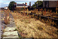
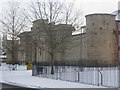
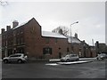
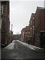

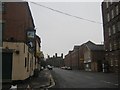
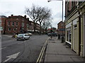
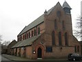
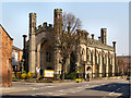
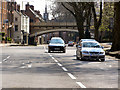
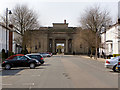
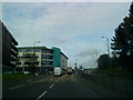
100 photos from this area
Area Information
Key information about the DE1 1GJ including its size, population, and administrative classification.
- Area Type
- Postcode
- Area Size
- 7605 m²
- Population
- 1729
- Population Density
- 12142 people/km²
House Prices in DE1 1GJ
28
Properties
£109,890
Average Sold Price
£35,000
Lowest Price
£165,000
Highest Price
Showing 28 properties
| Address | Type | Beds | Baths | Last Sale Price | Last Sale Date | |
|---|---|---|---|---|---|---|
| 34 Stepping Lane, Derby, DE1 1GJ | Terraced | 2 | 2 | £155,000 | Apr 2025 | |
| 44 Stepping Lane, Derby, DE1 1GJ | Terraced | 2 | 1 | £165,000 | Aug 2023 | |
| 24 Stepping Lane, Derby, DE1 1GJ | Terraced | 3 | 1 | £150,000 | Jul 2023 | |
| 22 Stepping Lane, Derby, DE1 1GJ | house | - | - | £126,100 | Jul 2021 | |
| 26 Stepping Lane, Derby, DE1 1GJ | house | 5 | 4 | £100,250 | Feb 2021 | |
| 56 Stepping Lane, Derby, DE1 1GJ | Terraced | 3 | 3 | £121,000 | Sep 2020 | |
| 58 Stepping Lane, Derby, DE1 1GJ | house | - | - | £110,000 | Oct 2019 | |
| 28 Stepping Lane, Derby, DE1 1GJ | Terraced | 2 | 1 | £130,000 | Sep 2019 | |
| 20 Stepping Lane, Derby, DE1 1GJ | Terraced | 3 | 2 | £125,000 | Jun 2019 | |
| 50 Stepping Lane, Derby, DE1 1GJ | house | - | - | £117,000 | Mar 2016 |
Page 1 of 3
Energy Efficiency in DE1 1GJ
Amenities
Schools
| Rank | School | Type | Entry gender | Ages |
|---|
Explore more schools in this area
Go to Schools tabDemographics
Household Size
Two person
most common
Accommodation Type
Houses
most common
Tenure
27
majority
Ethnic Group
White
most common
Religion
N/A
most common
Household Composition
N/A
most common
Age
22
median
Young Adults (15-29 years)
most common
Household Deprivation
N/A
with no deprivation
NS-SEC
20
in Lower managerial occupations
Explore more demographic insights in this area
Go to Demographics tabPlanning
Planning Constraints
- Flood RiskPremium
- Ramsar Wetland SitesPremium
- Area of Outstanding Natural BeautyPremium
- Protected Nature ReservePremium
- Protected WoodlandPremium