Area Overview for DE1 1EE
Photos of DE1 1EE
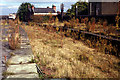
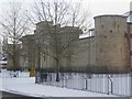
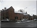
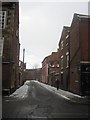

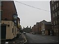
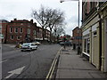
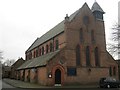
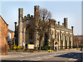


100 photos from this area
Area Information
Key information about the DE1 1EE including its size, population, and administrative classification.
- Area Type
- Postcode
- Area Size
- 7026 m²
- Population
- 1604
- Population Density
- 7351 people/km²
House Prices in DE1 1EE
28
Properties
£182,475
Average Sold Price
£175,000
Lowest Price
£189,950
Highest Price
Showing 28 properties
| Address | Type | Beds | Baths | Last Sale Price | Last Sale Date | |
|---|---|---|---|---|---|---|
| 47 Ford Street, Derby, DE1 1EE | Terraced | 4 | 1 | £189,950 | Jul 2015 | |
| 35A Ford Street, Derby, DE1 1EE | undefined | - | - | £175,000 | Mar 2009 | |
| Mediasphere Ltd, Studio 26, Friargate Studios, Ford Street, Derby, DE1 1EE | Office | - | - | - | - | |
| Studio 29, Friargate Studios, Ford Street, Derby, DE1 1EE | Office | - | - | - | - | |
| Studio 10, Friargate Studios, Ford Street, Derby, DE1 1EE | Office | - | - | - | - | |
| Studio 37, Friargate Studios, Ford Street, Derby, DE1 1EE | Office | - | - | - | - | |
| Reworked 348 Ltd, Studio 32, Friargate Studios, Ford Street, Derby, DE1 1EE | Office | - | - | - | - | |
| Studio 18, Friargate Studios, Ford Street, Derby, DE1 1EE | Office | - | - | - | - | |
| Studio 27, Friargate Studios, Ford Street, Derby, DE1 1EE | Office | - | - | - | - | |
| Aristotle Financial Planning Ltd, Studio 15, Friargate Studios, Ford Street, Derby, DE1 1EE | Office | - | - | - | - |
Page 1 of 3
Energy Efficiency in DE1 1EE
Amenities
Schools
| Rank | School | Type | Entry gender | Ages |
|---|
Explore more schools in this area
Go to Schools tabDemographics
Household Size
One person
most common
Accommodation Type
Flats
most common
Tenure
11
majority
Ethnic Group
White
most common
Religion
N/A
most common
Household Composition
N/A
most common
Age
22
median
Young Adults (15-29 years)
most common
Household Deprivation
N/A
with no deprivation
NS-SEC
20
in Lower managerial occupations
Explore more demographic insights in this area
Go to Demographics tabPlanning
Planning Constraints
- Flood RiskPremium
- Ramsar Wetland SitesPremium
- Area of Outstanding Natural BeautyPremium
- Protected Nature ReservePremium
- Protected WoodlandPremium